
Plan your visit
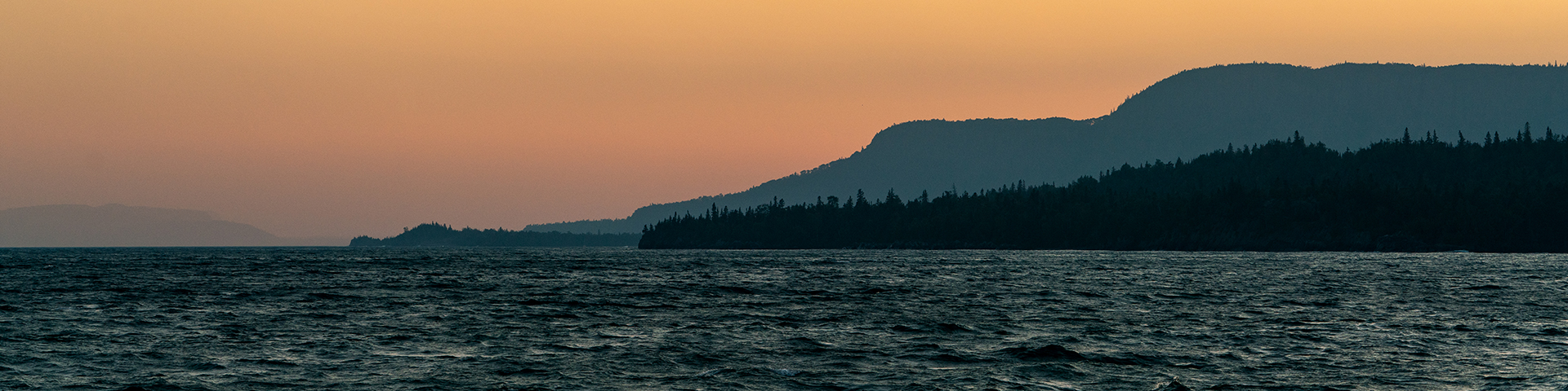
Lake Superior National Marine Conservation Area
A lifetime would hardly give you time to scratch the surface of all the Lake Superior National Marine Conservation Area has to offer but a weekend will give you time to take a boat cruise, paddle to an island, cast your line in hopes of catching a northern pike and perhaps spend a night camping under the stars.
Hours of Operation
Nipigon Administration and Visitor Centre and the Terrace Bay Visitor Centre.
Tourism links
A list of some tourist activities in the area.
How to get here
Location
22 Third Street P.O. Box 998
Nipigon ON P0T 2J0
Directions
Lake Superior National Marine Conservation Area extends from Thunder Cape at the tip of Sleeping Giant Provincial Park in the west, to Bottle Point just east of Terrace Bay, and out to the Canada-US border. It includes the waters of Black Bay and Nipigon Bay, and encompasses over 10,000 square kilometres of lakebed and overlying waters, as well as islands, shoals and some mainland. The NMCA is accessible from the north via the Trans-Canada Highway 17, which roughly follows the Lake Superior shoreline between Sault Ste. Marie and Thunder Bay. The area can also be reached by boat. Red Rock and Nipigon boast marinas, while other communities, such as Terrace Bay, Rossport, Hurkett, and Silver Islet, offer boat launches and/or docks.
Facilities and services
- Date modified :