
Getting here
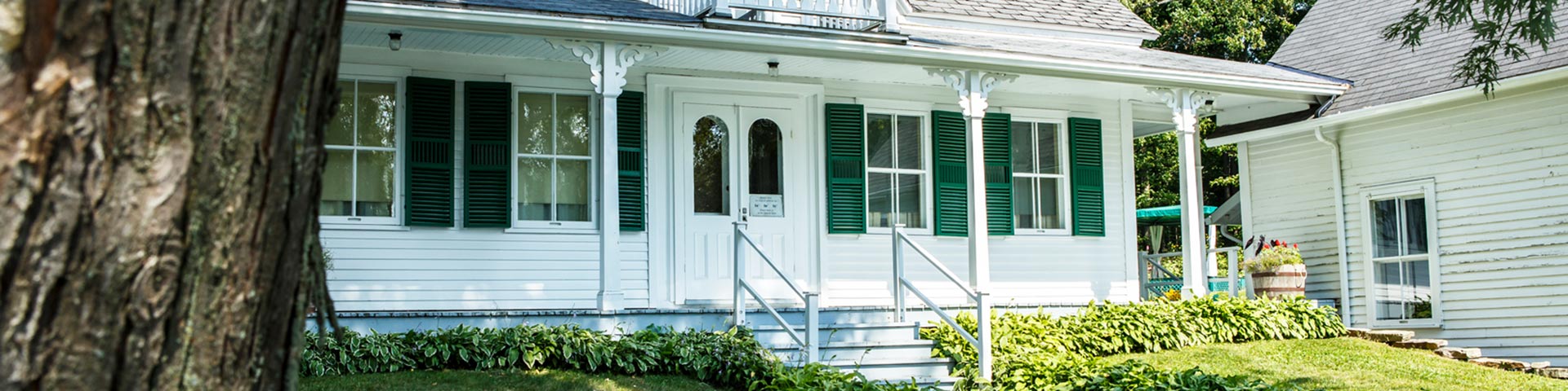
Louis S. St. Laurent National Historic Site
From Montréal:
Champlain Bridge
Take Highway 10 East : direction Sherbrooke
Exit 121, Highway 55 South : direction Coaticook
Exit 21, Route 141 South : direction Ayer's Cliff
And in Ayer's Cliff, take Route 208 East to Compton
From Québec:
Take Highway 20 West : direction Drummondville
Exit 173, Highway 55 South : direction Sherbrooke
Exit 140, Highway 410 East : direction Cookshire-Eaton
Exit 13, Route 143 South : direction Coaticook - Stanstead
And take Route 147 South : direction Coaticook to Compton
From Stanhope
(near the US border):
Take Route 147 to Compton.
From Derby Line
(at the American border):Take Route 143 North and then Route 208, towards Hatley up to Compton.
Distances Between the Louis S. St. Laurent National Historic Site of Canada and...
- Montréal: 167 km
- Drummondville: 102 km
- Trois-Rivières: 178 km
- Magog: 33 km
- Québec: 260 km
- North Hatley: 16 km
- Sherbrooke: 20 km
Related links
- Date modified :