
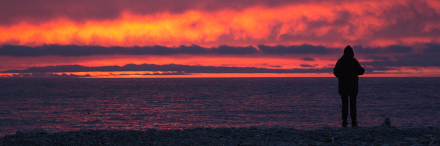
Fishing Cove
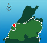
Cape Breton Highlands National Park
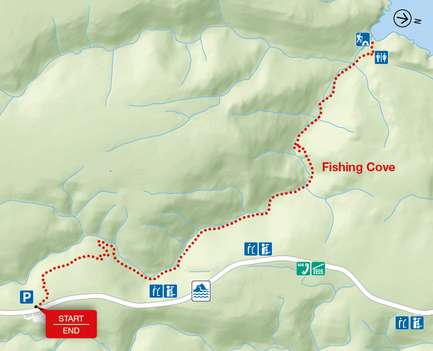
You are 355 metres (1,165 feet) above sea level! Hike from the top of the mountain about six kilometres down to a small ocean cove and grassy clearing – the only designated wilderness camp site in the park. This was once the site of a Scottish fishing community and these settlers traded with the French for supplies. Explore the beach, roam the hills or swim in fresh or salt water. You must register at a park visitor centre prior to camping.
| Length | 12 km / 7.5 mi (return) |
    |
| Rating | Difficult  |
|
| Elevation | 0 - 355 m (0 - 1,165 ft) | |
| Time | 5 - 6 hours | |
| Significant features | Acadian forest, ocean cove and headlands Steep descent. Some muddy sections. No potable water on site. |
|
| Trailhead | On the Cabot Trail at the top of MacKenzie Mountain Lat: 46.771540 Long: -60.837225 |
Related links
- Acadian
- Salmon Pools
- Le Chemin du Buttereau
- Le Buttereau
- Le vieux chemin du Cap-Rouge
- Corney Brook
- Skyline
- Bog
- Benjie's Lake
- MacIntosh Brook
- Lone Shieling
- Aspy
- Mica Hill
- Jack Pine
- Coastal
- Jigging Cove Lake
- Green Cove
- Broad Cove Mountain
- Warren Lake
- Branch Pond Look-off
- Franey
- Clyburn Valley
- Middle Head
- Freshwater Lake Look-off
- Freshwater Lake
- Date modified :