
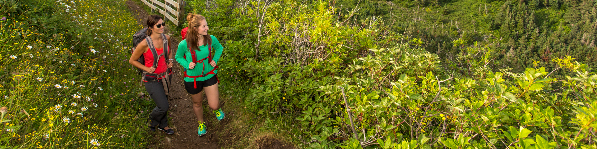
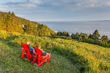
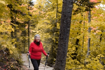
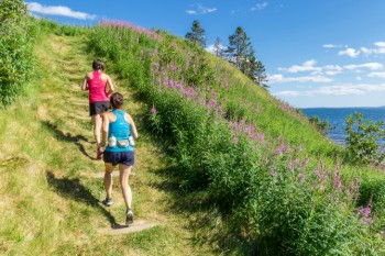
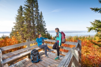
Hiking
Forillon National Park
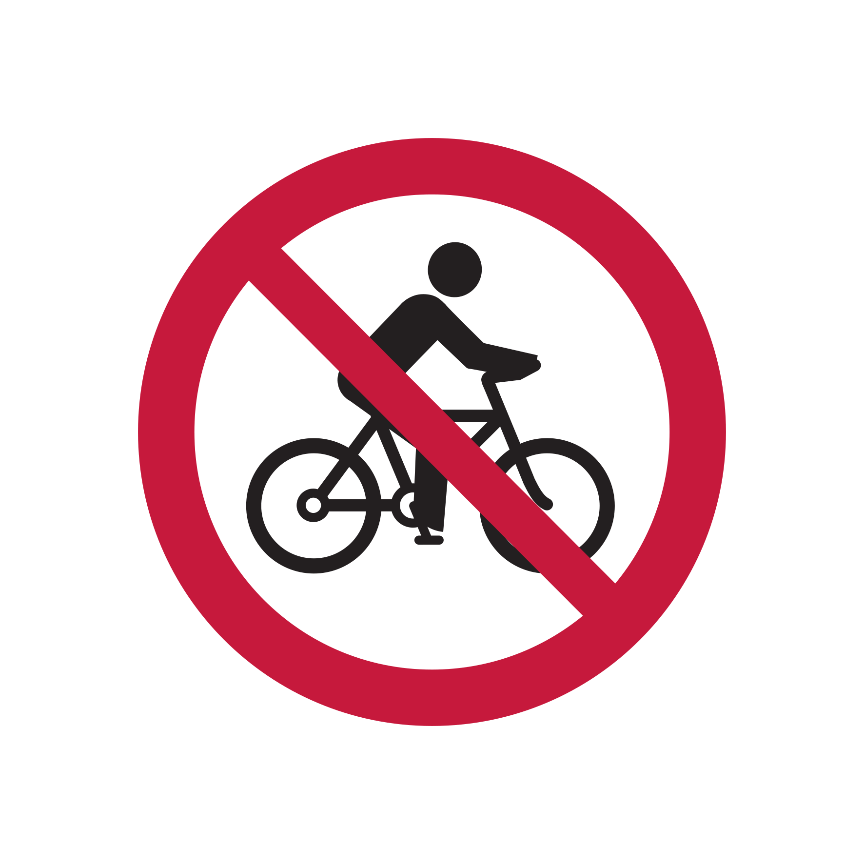
Les Lacs trail: inaccessible to cyclists, opened to hikers.
Whether you’re looking to go hiking for 30 minutes or 4 hours, Forillon has a trail that’s right for you! All park hiking trails will enable you to appreciate the beauty and natural wealth of this protected area. In addition, several trails are a part of the International Appalachian Trail (IAT).
Download Forillon National Park trails map [PDF, 742 Ko]
 Easy hiking trails
 Easy hiking trails
Prélude-à-Forillon

.gif?h=24&w=24&hash=1A481E3090EFB788978D6D31CE9548F0)
Trailhead: Visitor Information and Discovery Centre, North Area
Length: 0.5 km (loop)
Duration: 15 mins.
Elevation gain: 2 m
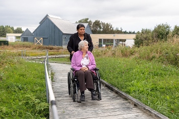
This looped trail enters a hardwood wooded area, leads to the sea, runs along the bank gravel, and goes back to where it started. With its multi-sensory interpretation modules, this wooden footbridge offers people with physical or visual disabilities a glimpse of the best that Forillon has to offer: the space of its vast sea and eroded mountains.
La Taïga
.gif?h=24&w=24&hash=4A88DAE7DEC15C8891537DCA46DCCC37)

Trailhead: at 1 km from Penouille parking lot
Length: 3 km (round trip)
Duration: 1 - 1.5 hrs.
Elevation gain: 1 m
The Penouille sand spit supports a taiga whose presence at such low latitudes is quite unusual. A taiga is a fragile habitat that is sensitive to trampling – thank you for staying on the trail. The park sought to offer visitors the opportunity of discovering this lichen-carpeted forest while also ensuring that it is properly protected. To limit deforestation as much as possible, a trail was laid out using the existing clearings. In addition, it goes around an area that is home to an endangered species of fern (i.e., the daisy-leaf moonwort) and ends up at a blind for watching numerous marsh birds quite unobtrusively! Bring your own binoculars!
Du Banc

.gif?h=24&w=24&hash=1B156C354148BDC570A36859672B727E)
Trailhead: Cap-des-Rosiers parking lot or Visitor Information and Discovery Centre, North Area
Length: 4 km (round trip)
Duration: 1 - 2 hrs.
Elevation gain: 6 m
By foot or bike, venture along the seashore on Du Banc trail and take in the magnificent Forillon cliffs and the Cap-des-Rosiers lighthouse. Along the trail, take a break at the Irish Memorial (Carricks) erected in the memory of the some one hundred passengers who drowned off Cap-des-Rosiers, in 1847.
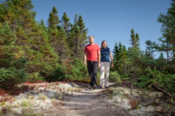
 Moderate hiking trails
 Moderate hiking trails
Les Parages
.gif)
.gif)
.gif)
Trailhead: Grande-Grave
Length: 3 km (loop)
Duration: 1 - 2 hrs.
Elevation gain: 90 m
As you walk through the historic landscape, you’ll also enjoy a panoramic view out over Gaspé Bay. This trail will take you through fields lying between old homes and barns, including the Dolbel-Roberts house (which features exhibits). Along the way, be sure to stop in and visit the historic buildings associated with the Hyman Store and L'Anse Blanchette.
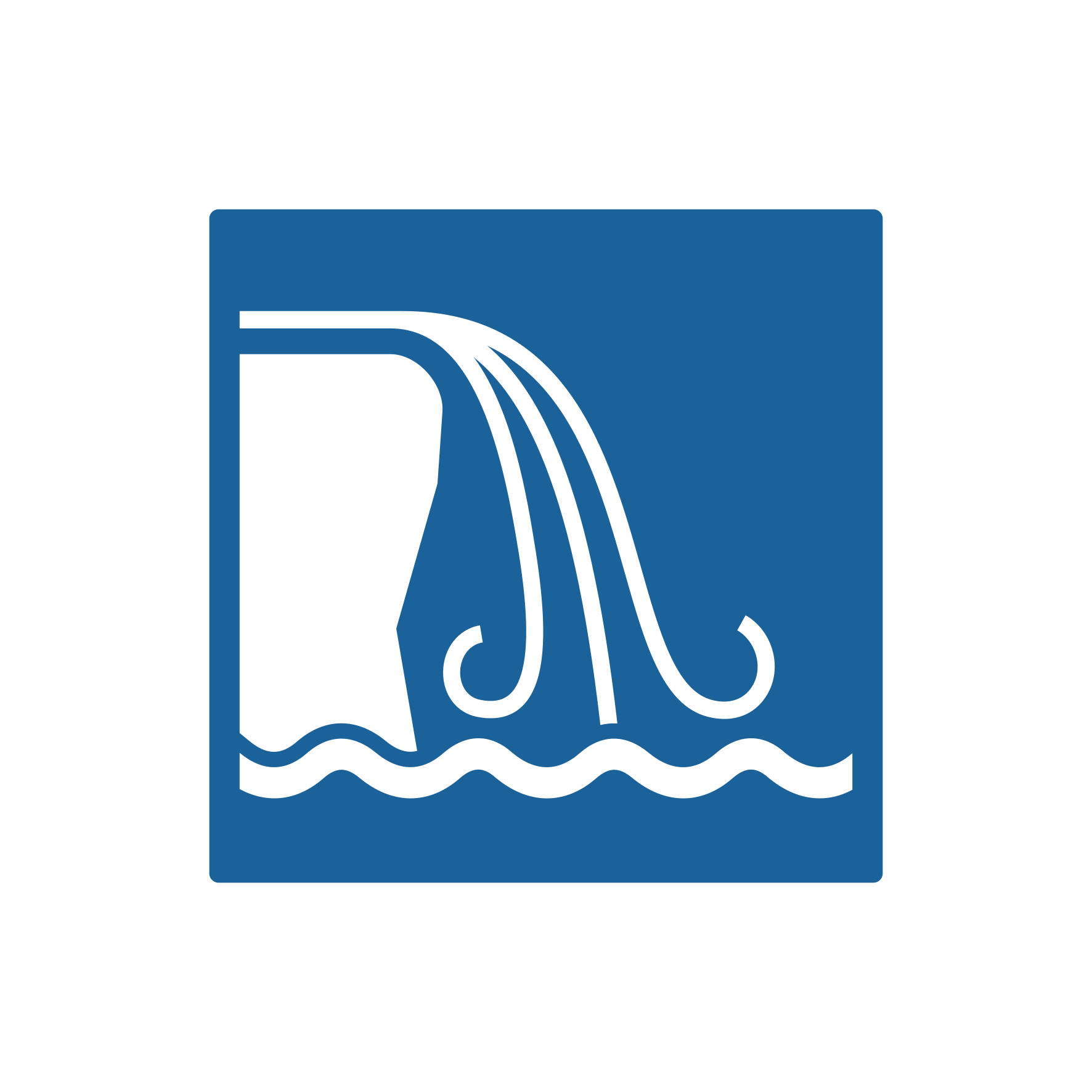
La Chute
.gif)
Trailhead: La Chute parking lot, on highway 132 (Halfway between North and South Area)
Length: 1 km (loop)
Duration: 30 - 45 mins.
Elevation gain: 40 m
This trail, though short, does have some steep stairs. You’ll love the quiet of the woodlands as you wind your way through a maple grove and a cedar grove at the bottom of a little valley until reaching a lovely 17-metre-high waterfall.
Les Graves
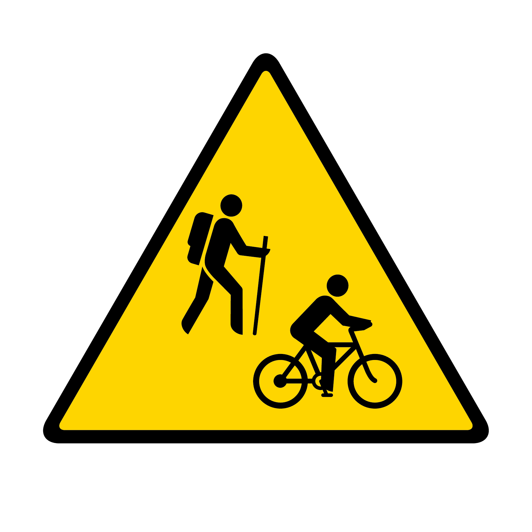
Certain sections of the trail are closed to cyclists. Please follow the signs.
Trailhead: Grande-Grave, entire trail
Length: 15.2 km (round trip)
Duration: 4 - 5 hrs.
Elevation gain: 95 m
Trailhead: L'Anse-aux-Amérindiens, gravel road
Length: 6,4 km (round trip)
Duration: 1.5 - 2.5 hrs.
Elevation gain: 60 m
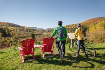
The gravel road is also open to bikes.
Trailhead: L'Anse-aux-Amérindiens, trail
Length: 8 km (round trip)
Duration: 2 - 3 hrs.
Elevation gain: 80 m
The Les Graves trail crosses through woods and overgrown fields overlooking coves and the sea. Maybe you’ll be lucky and see some marine mammals, bears or porcupines. At Cap-Gaspé, approach the base of the lighthouse located atop a 95-metre-high cliff. Today, this solar-powered light is fully automated. Follow the trail down to the bottom of the cliff until reaching Land’s End! Take in the scene and breathe in the salt air – then take a snap for posterity.
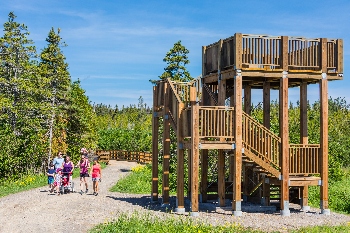
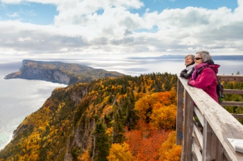
Mont-Saint-Alban
.gif)
.gif)
Trailhead: Petit-Gaspé beach
Length: 7.2 km (loop); 5.4 km (tower and back)
Duration: 2.5 - 3.5 hrs. (loop); 1-2 hrs.(tower and back)
Elevation gain: 275 m
Trailhead: Cap-Bon-Ami
Length: 7.8 km (loop); 3.6 km (tower and back)
Duration: 3 - 4 hrs. (loop); 1.5 - 2 hrs. (tower and back)
Elevation gain: 245 m
Trailhead: Grande-Grave
Length: 7.2 km (loop); 5 km (tower and back)
Duration: 2.5 - 3.5 hrs. (loop); 1- 2 hrs.
Elevation gain: 280 m
Although the first kilometres make for fairly steep going, you’ll be wowed by the stunning vistas to be had at different points along this boreal forest trail. Once you’ve reached the observation tower, at 285 m in altitude, you’ll be swept up by the exceptional beauty of the sea and cliffs below. The gentler of the two climb routes begins at the Petit-Gaspé beach.
La Vallée

.gif)
.gif)
Trailhead: L’Anse-au-Griffon
Length: 9.2 km (round trip)
Duration: 2 - 3 hrs.
Elevation gain: 25 m
Amble along L'Anse-au-Griffon River amid a pretty forest. Keep your eyes peeled for wild animals. The trail boasts two picnic areas (including one with a shelter).
Le Portage

Trailhead: L’Anse-au-Griffon or near the Administrative office
Length: 20 km (round trip)
Duration: 5 - 6 hrs.
Elevation gain: 155 m
This trail traverses the park from north (L’Anse-au-Griffon) to south (administrative office). Along the southern leg, it crosses through a forest and over a number of waterways. Along the northern leg, it crosses through overgrown fields. A wide trail, “Le Portage” often offers good opportunities for viewing bears and small game.
Trail also open to bikes and horses.
 Difficult hiking trails
 Difficult hiking trails
Les Crêtes
.gif)
Trailhead: from Petit-Gaspé Beach or near the Administrative Office
Length: 35.4 km (round trip) including access legs
Duration: 12 - 14 hrs.
Elevation gain: 405 m
Enjoy a long mountain hike offering breathtaking panoramic views out over L'Anse-au-Griffon valley, the Gulf of St. Lawrence and Gaspé Bay. Backcountry campsites and a lean-to shelter are located along the way.
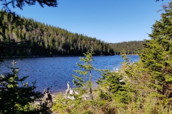
Les Lacs
Trailhead: from the Route 197 (Rivière-au-Renard) or from near the administrative office
Length: 36.6 km (round trip)
Duration: 13 - 15 hrs.
Elevation gain: 450 m
This long mountain hike will take you past a string of small lakes that are well suited for observing boreal forest wildlife. It also offers fantastic views out over the Morris River valley. Backcountry campsites and a lean-to shelter are located along the way.
Useful links
- International Appalachian Trail (IAT)
- Forillon trails on Google earth (.kmz)
- Forillon trails for portable GPS (.gpx)
- Date modified :