T'äw Tà'är National Historic Site

© Parks Canada/D. Neufeld
T'äw Tà'är was designated as a national historic site in 2012.
Commemorative plaque: Whitehorse, YukonFootnote 1
T'äw Tà'är
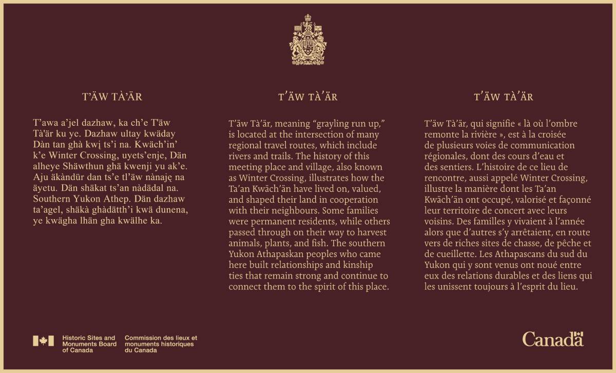
T’äw Tà’är, meaning “grayling run up,” is located at the intersection of many regional travel routes, which include rivers and trails. The history of this meeting place and village, also known as Winter Crossing, illustrates how the Ta’an Kwäch’än have lived on, valued, and shaped their land in cooperation with their neighbours. Some families were permanent residents, while others passed through on their way to harvest animals, plants, and fish. The southern Yukon Athapaskan peoples who came here built relationships and kinship ties that remain strong and continue to connect them to the spirit of this place.
Historic Sites and Monuments Board of Canada
English plaque inscription
T'äw Tà'är
Tʼawa aʼjel dazhaw, ka chʼe T'äw Tà'är ku ye. Dazhaw ultay kwäday Dàn tan ghà kwį tsʼi na. Kwächʼinʼ kʼe Winter Crossing, uyetsʼenje, Dän alheye Shäwthun ghä kwenji yu akʼe. Aju äkàndür dan tsʼe tlʼäw nànaję na äyetu. Dän shäkat ts’an nàdädal na. Southern Yukon Athep. Dän dazhaw taʼagel, shäkà ghàdätthʼi kwä dunena, ye kwägha lhän gha kwälhe ka.
Historic Sites and Monuments Board of Canada
Southern Tutchone (Lake Laberge dialect) plaque inscription
T'äw Tà'är

© Parks Canada
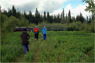
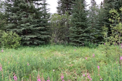
T’äw Tà’är is a meeting place and a former permanent village site on the Teslin River, Yukon, where numerous trails converge. This cultural landscape, also known as Winter Crossing, represents the interconnected web of seasonal food gathering activities, family relations, travel, and trade of the Ta’an Kwäch’än. It has been chosen by the Ta’an Kwäch’än as a landscape that speaks to their traditional way of life.
T’äw Tà’är is at the intersection of many regional travel routes, both trails and waterways. These routes illustrate the sustained relationship between the Ta’an Kwäch’än and their traditional territory, through which they travelled each year to harvest animals, plants, and fish. The travel routes that met at T’äw Tà’är helped to foster a network of marriages and resulting family lineages, as well as cooperation, and the maintenance of good relations with neighbours such as the Northern Tutchone, Tagish, Tlingit and Kaska peoples. The relationships and kinship ties created between these southern Yukon peoples remain strong and continue to connect them to the spirit of this place.

From T’äw Tà’är, trails lead west to Tàa’an Mǟn (Lake Laberge), in the heart of the traditional territory of the Ta’an Kwäch’än. Another trail heads east to Livingstone Creek and the Big Salmon River. River routes lead north and south from T’äw Tà’är along the Teslin River. Another trail leads south to Marsh Lake on the Yukon River.
The name T’äw Tà’är means “grayling run up” in Dän K’è (the Southern Tutchone language) and refers to the run of Arctic grayling fish that would take place each spring when the site was used as a fishing camp. In autumn, people passed through the camp on their way to hunt moose, bighorn sheep or caribou in the mountains, or to fish for trout, pike, and whitefish in the rivers and lakes. At all seasons, people would pass through the area to trade and visit with neighbours and relatives. At the turn of the 20th century, it was also a permanent settlement for a number of families who ran traplines in the area, and there is a graveyard located at the site. For the Ta’an Kwäch’än, T’äw Tà’är is a cultural landscape that illustrates their world, and the connections that sustain it.
Backgrounder last update: 2023-007-31
The National Program of Historical Commemoration relies on the participation of Canadians in the identification of places, events and persons of national historic significance. Any member of the public can nominate a topic for consideration by the Historic Sites and Monuments Board of Canada.
- Date modified :