
Georges Island Trail
Georges Island National Historic Site
Follow the Georges Island Trail from the dock up to Fort Charlotte and enjoy great views of Halifax. Some sections of the trail are steep. The trail slope ranges from flat ground to a 12% slope.
- Length:
- 440 m (return)
- Rating:
- Moderate (Parks Canada trail rating guide)
- Elevation:
- 20 m
- Terrain:
-
- Ranges from flat ground to 12% slope
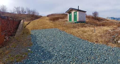
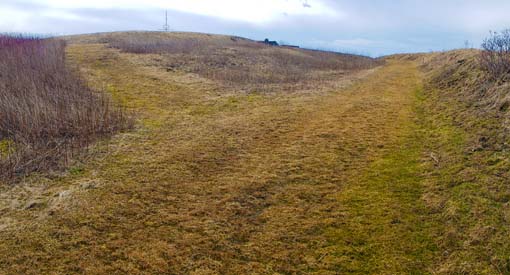
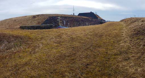
- Natural surface: uneven ground, made of firm grass and gravel
- Stairs
- Significant features:
- Great views of Halifax
- Trailhead:
 Boat Dock
- Activities:
-
 Picnic
 Lookout
Map
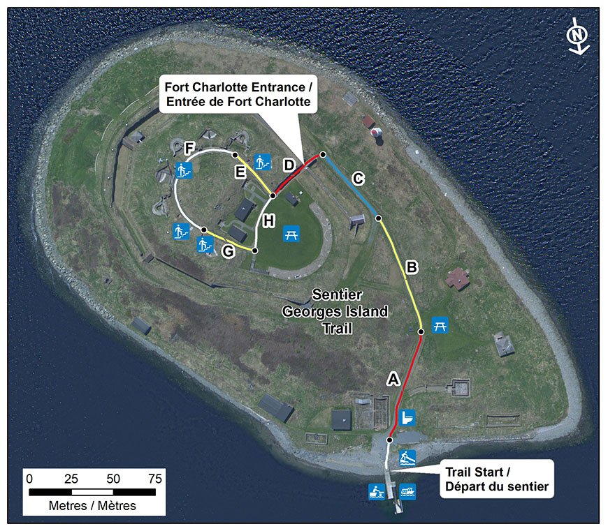
This map shows the Georges Island Trail divided into sections according to slope. Some sections of the trail are steep. The map shows the slope of the ground by colour: red indicates a slope of 11-12%, yellow indicates a slope of 8-10%, blue indicates a slope of 2%, and white indicates the trail is flat (no slope).
Legend
Trail slope
 11-12%
 8-10%
8-10%
 2%
2%
 No slope
![]() Boat Dock
Boat Dock
 Shore Launch
 Water Transportation
![]() Toilet
Toilet
 Stairs
![]() Picnic
Picnic
Trail section descriptions
| Section | Slope | Width | Number of stairs |
|---|---|---|---|
| Gangway from the floating dock to the wharf | Varies from 10% at high tide to 27% at low tide | 5'6" inside the railings (1.676 metres) | |
| Section A | 12% | 3 m | 2 (to the washroom) |
| Section B | 10% | 2 m | |
| Section C | 2% | 2 m | |
| Section D | 11% | 2 m | |
| Section E | 10% | 1 m | 8 |
| Section F | 0% | 1 m | 20 to 23 |
| Section G | 8% | 1 m | 9 |
| Section H | 0% | 1 m |
Photographs

- Date modified :