
Upper Brewers
Rideau Canal National Historic Site
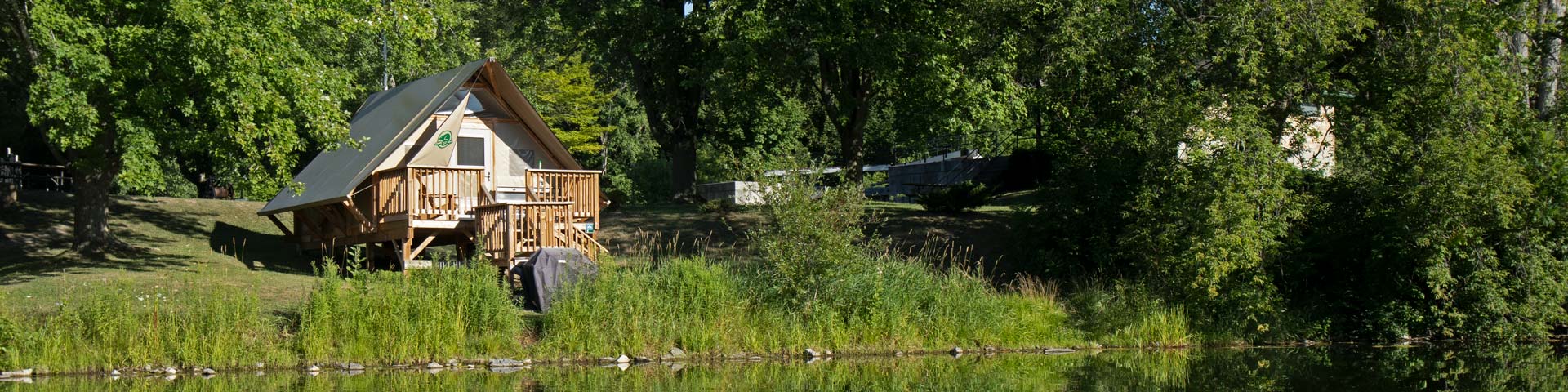
Upper Brewers is a popular overnight spot for boaters, with two oTENTik campsites available for those seeking an authentic natural getaway just outside of the city. The nearest local services are about 10 minutes away in Seeley’s Bay.
How to get here
Upper Brewers
3000 Brewers Mills Road
Kingston, Ontario
GPS: 44°24'45"N 76°18'47"W
Phone
613-539-6847
Email
rideau@pc.gc.ca
Navigational data
- Distance from Ottawa: 176.5 km (109.7 miles)
- Distance fom Kingston: 25.6 km (15.9 miles)
- Nautical chart: #1513 (Sheet 4)
- Number of locks: 2 in flight
- Lock length: 40.8 m (134 ft)
- Lock width: 9.7 m (33 ft)
- Average lift: 5.9 m (19.4 ft)
Facilities and services
- Overnight mooring (2 nights max)
- Camping
- oTENTik
- Washrooms
- Barbecue grills
- Potable water
- Shore power
- Firewood ($)
- Picnic tables
- Parking
History
Cranberry Bog, located just north of the site, was the major problem. This marshy area was a source for malaria which was so serious that, in the summer of 1828, work was halted at Upper Brewers. The solution was to flood the area using two dams, one here at Upper Brewers and a second near today’s Morton. The water impounded by those dams formed today’s Cranberry, Little Cranberry and Whitefish lakes.
Read more history about this lockstationGoogle Street View
- Date modified :