
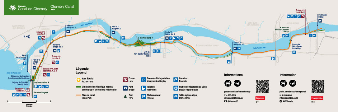
Chambly Canal Trail Map
Chambly Canal National Historic Site
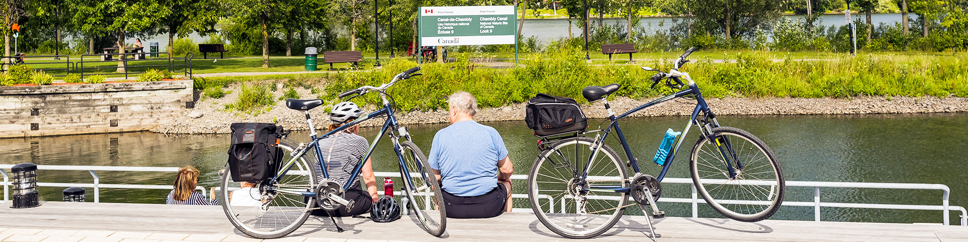
The path along the waterway runs for over 20 km, connecting the cities of Chambly, Carignan, and Saint-Jean-sur-Richelieu. Easily accessible, it’s perfect for family outings or active adventures, all while offering breathtaking views of the Montérégie region.
Plan your visit today! View the interactive map of the Chambly Canal trail,or download it as a PDF.
Related links
- Date modified :