
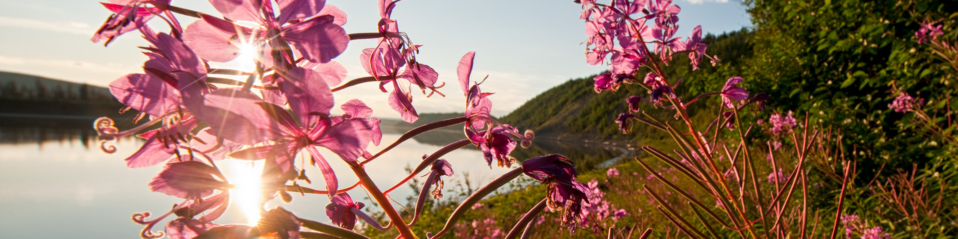
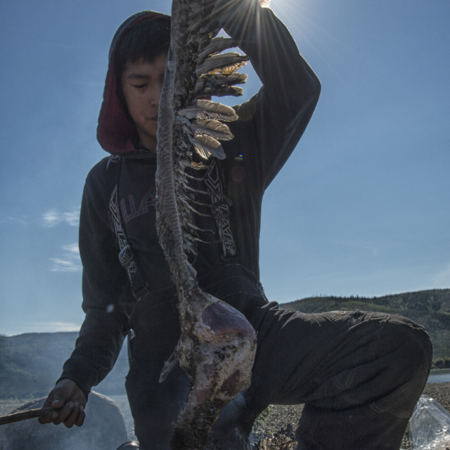
©Peter Mather
Proposed national park in the Teetł’it Gwinjik (Peel River) Watershed, Yukon
Share your feedback
Tell us your thoughts about this proposed new national park. The survey is open from February 3 to March 17, 2025.
Overview
The Teetł’it Gwinjik (Peel River) Watershed is a unique northern area. It is a stunning landscape of forests, free-flowing rivers and wildlife. It is located within the traditional territories of the Gwich’in and Nacho Nyak Dun and the Gwich’in Settlement Region. The Teetł’it Gwinjik (Peel River) Watershed is central to their traditions, cultures and ways of life.
Part of the Teetł’it Gwinjik (Peel River) Watershed is being considered as the study area for a potential new national park.
Who is involved
The Gwich’in Tribal Council, the First Nation of Nacho Nyak Dun, Parks Canada and the Government of Yukon (“the Parties”) are exploring the possibility of creating a new national park in a portion of this watershed.

As part of this process, the Parties are undertaking a feasibility assessment. The Parties will work together to decide whether it would be practical and desirable to create a new national park in this area. It will include in-depth consultation with Indigenous rights holders, stakeholders and the public.
Possible outcomes
A potential national park in the Teetł’it Gwinjik (Peel River) Watershed would:
- permanently protect the ecosystem
- advance Indigenous-led conservation
- ensure cultural practices can continue on this landscape
- support the creation of land-based economies
- strengthen biodiversity
- contribute to the recovery of species at risk
- protect and showcase this important region for current and future generations
- align with the vision and goals of the Peel Watershed Regional Land Use Plan
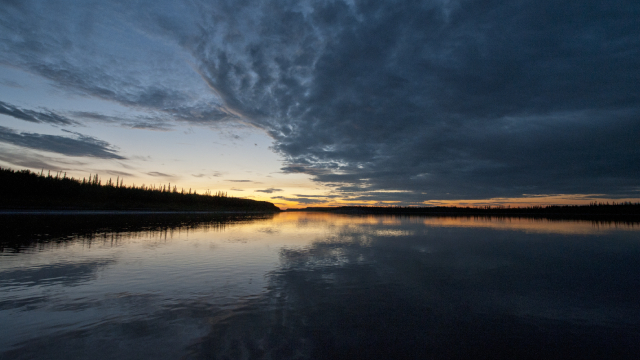
About the Teetł’it Gwinjik (Peel River) Watershed
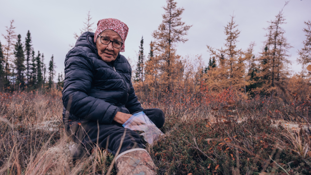
© Arlyn Charlie, Gwich’in Tribal Council Department of Culture & Heritage
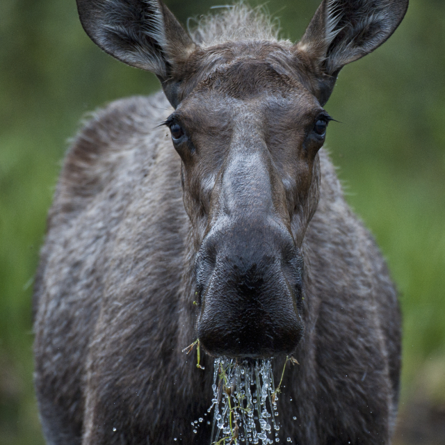
The Teetł’it Gwinjik (Peel River) Watershed is in northeast Yukon, next to the Yukon-Northwest Territories border. This is a diverse and rugged landscape, home to caribou, moose, bears, birds, and fish. It has great natural beauty and high biodiversity. It also contains important habitat for species at risk.
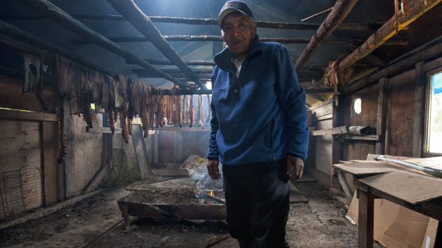
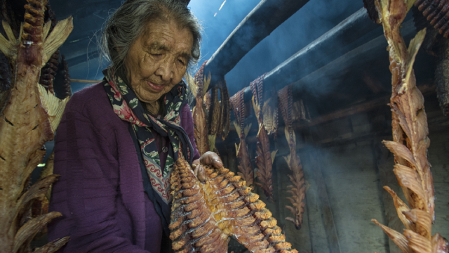
The Gwich’in and Nacho Nyak Dun have cared for these lands and waters since time immemorial. They have lived in and travelled through this region for thousands of years. Their communities are sustained by the water, plants, animals, and a deep, ongoing connection to the land. They continue to exercise their traditional ways of living on these lands.
This area is mostly intact and undisturbed. It has few roads, limited development, and no permanent residents.
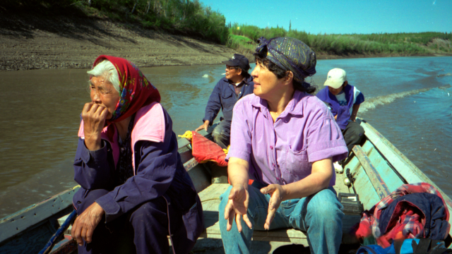
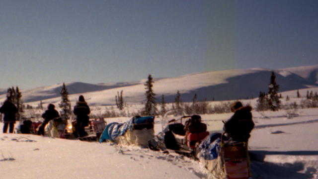
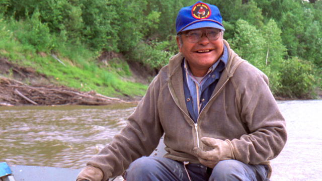
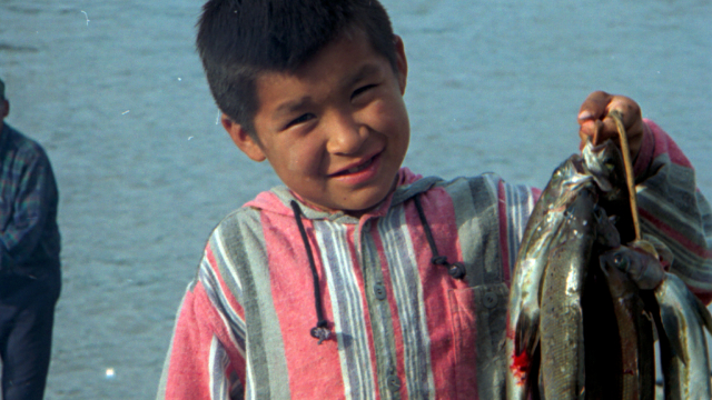
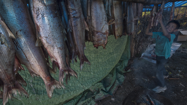
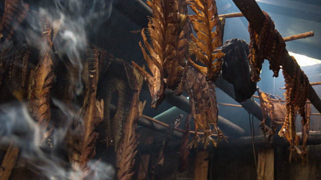
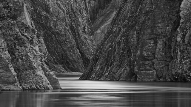
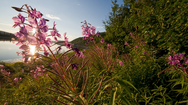
Image gallery
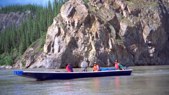
Study area
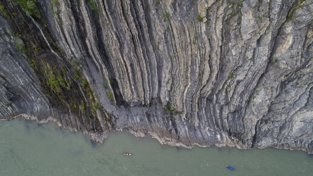
© Peter Mather
Part of the Teetł’it Gwinjik (Peel River) Watershed is being considered as the study area for a potential new national park. The study area is almost 3,000 square kilometres in size. That’s about half the size of Prince Edward Island.
It is located in the northeast part of the Teetł’it Gwinjik (Peel River) Watershed within the Gwich’in Settlement Region, specifically in the Gwich’in Primary Use Area. It includes Nihtal Gyit (Turner Lake Wetlands), the Edigii Njik (Caribou River) area, and a large section of the Teetł’it Gwinjik (Peel River) Corridor.
This area features river canyons, scattered lakes and riparian forests. These wetland and forest habitats are important for caribou, fish and other animals. It is also an area of great cultural and spiritual value to the Gwich’in and Nacho Nyak Dun.
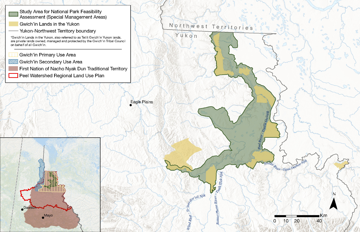
Map A: Feasibility assessment study area – proposed national park in the Teetł’it Gwinjik (Peel River) Watershed
*Gwich’in Lands in the Yukon, also referred to as Tetlit Gwich’in Yukon lands, are private lands owned, managed and protected by the Gwich’in Tribal Council on behalf of all Gwich’in.
Map A: Feasibility assessment study area – proposed national park in the Teetł’it Gwinjik (Peel River) Watershed — Text version
This map features the study area for a proposed national park in the Teetł’it Gwinjik (Peel River) Watershed.
The map extent includes a northeastern portion of Yukon and northwestern portion of the Northwest Territories. The map extends north to an area just south of Teetł’it Zheh (Fort McPherson) and Tsiigehtchic, and south to include Teetł’it Gwinjik (Peel River), Tr’ineeditr’aii Njik (Wind River), Tsaih Tł’ak Njik (Bonnet Plume River) and Gyuu Dazhoo Njik (Snake River).
A legend box in the upper left contains several features of the primary map – the Special Management Area & national park feasibility assessment area (green polygon), Gwich’in Lands in the Yukon (yellow polygons), and the Yukon-Northwest Territory boundary.
The Special Management Area & national park feasibility assessment area is shown as an irregular green polygon on the map. It is entirely located in the Yukon. Its northern extent reaches the Yukon-Northwest Territories border. It extends south to the confluence of Teetł’it Gwinjik (Peel River) and Gyuu Dazhoo Njik (Snake River) and west following Teetł’it Gwinjik (Peel River). The Special Management Area & national park feasibility assessment area is overlapped in some areas by Gwich’in Lands in the Yukon (shown as yellow polygons).
The map contains a ‘key map’ in the lower left corner locating the extents of the primary map in the broader context of the Yukon and Northwest Territories. The legend box shows several features of the key map –Gwich’in Primary Use Area (yellow cross-hatched polygon), Gwich’in Secondary Use Area (blue cross-hatched polygon), First Nation of Nacho Nyak Dun Traditional Territory (maroon polygon), and the Peel Watershed Regional Land Use Plan (red outline).
The Peel Watershed Land Use Plan is shown as a red outlined polygon that follows the Teetł’it Gwinjik (Peel River) watershed boundaries in northeast Yukon.
The Gwich’in Primary Use Area is shown as an irregular yellow cross-hatched polygon. It overlaps the northern portion of the First Nation of Nacho Nyak Dun Traditional Territory and the northern portion of the Peel Watershed Land Use Plan.
The Gwich’in Secondary Use Area is shown as an irregular blue cross-hatched polygon. It overlaps northwest portions of First Nation of Nacho Nyak Dun Traditional Territory and the northern portion of the Peel Watershed Land Use Plan and extends northward toward the Mackenzie Bay.
First Nation of Nacho Nyak Dun Traditional Territory is shown as an irregular maroon polygon that extends over much of the northeast Yukon. Two parcels of First Nation of Nacho Nyak Dun Settlement Lands overlap the study area near the confluence of Teetł’it Gwinjik (Peel River) and Tr’ineeditr’aii Njik (Wind River) but are not shown at this map scale.
The Peel Watershed Land Use Plan, the Gwich’in Primary Use Area and First Nation of Nacho Nyak Dun Traditional Territory fully overlap the Special Management Area & national park feasibility assessment (green polygon).
A 0 to 40 km scale bar is included in the lower right corner of the main map along with a north arrow.
Background — Peel Watershed Regional Land Use Plan
A potential new national park would align with the Peel Watershed Regional Land Use Plan.
The Peel Watershed Regional Land Use Plan was approved in 2019. The Plan was developed by the Peel Watershed Planning Commission, which was comprised of six members of the public nominated by the First Nation of Nacho Nyak Dun, the Gwich’in Tribal Council, the Vuntut Gwitchin First Nation, Tr’ondëk Hwëch’in and the Government of Yukon.
The Plan sets out a vision and goals for land management in the watershed. The Plan identifies the study area as a Special Management Area. This means that it will be permanently protected. The goal is to legally designate it as a protected area and manage it jointly.
One possible way to achieve this goal is to designate the area as a national park. The Gwich’in Tribal Council and the First Nation of Nacho Nyak Dun, the two First Nation parties to the Plan whose traditional areas overlap the study area, have chosen to work with Parks Canada and the Government of Yukon to explore this possibility.
Feasibility assessment
On April 19, 2024, the Gwich’in Tribal Council, the First Nation of Nacho Nyak Dun, Parks Canada and the Government of Yukon signed a Collaboration Accord. They announced that they would be working together on a feasibility assessment for a proposed national park in the Teetł’it Gwinjik (Peel River) Watershed.
A feasibility assessment will help the four Parties decide whether a national park would be practical and desirable. It will include:
- extensive consultation with Indigenous rights holders, as well as stakeholders and the public
- development of a proposed boundary and general vision for a national park
- assessment of any potential social, environmental, cultural and economic opportunities and challenges
This will be a collaborative process undertaken by the Gwich’in Tribal Council, the First Nation of Nacho Nyak Dun, Parks Canada and the Government of Yukon. All stages of this work will be based on the recognition of Indigenous rights, respect, co-management and partnership.
A new national park would only be created with the full support of all the Parties.
Next steps
The feasibility assessment will not decide whether a national park is created. It will only determine whether the four parties:
- feel that a national park would be desirable and practical
- agree on a proposed boundary for the national park
- recommend moving to the next stage of the process
If all Parties agree to move forward, the next stage of the process for creating a national park would be negotiating an establishment agreement.
Images

Video of the study area
Discover the Teetł’it Gwinjik (Peel River) Watershed for yourself through a video of the Teetł’it Gwinjik (Peel River).
Contact us
Email the Parties (care of Parks Canada) at teetlit-gwinjik@pc.gc.ca.
Related links
- News release: A new national park in the Yukon being explored by the Gwich’in Tribal Council, the First Nation of Nacho Nyak Dun, and the Governments of Canada and Yukon
- News release (Gwich’in translation): Yukon gwizhit nan kàk tthak zhuu nahtr’ahdidal gwideek’it jii Gwich’in Jìlch’eiinat gik’itr’ihaandal, jii Tr’oochit Dinjii Zhuh Nacho Nyak Dun,Yukon ts’àt Canada Iisrits’at Chit Kàt guuvah’
- Gwich’in Tribal Council
- First Nation of Nacho Nyak Dun
- Government of Yukon
- Creating new national parks
- Peel Watershed Regional Land Use Plan
- Date modified :