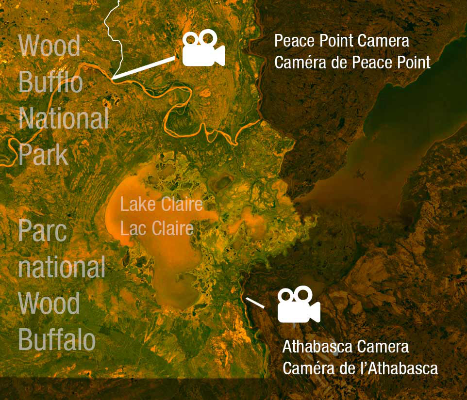
Two of Canada’s biggest rivers by volume meet at Wood Buffalo National Park: the Peace and the Athabasca Rivers. These rivers are iconic and historic in Canada’s history. From time to time, significant flooding events occur. For current river conditions at Peace Point, AB, please check the webcam below:

Ice jams and floods are naturally occurring events which are powerful and dynamic.
For your own safety:
Monitoring and Emergency Information
For additional information
Monitoring the flow of major rivers and streams throughout Alberta, including high water advisories: Rivers.alberta.ca
Information about the dangers posed by river break-up flood events on the Athabasca River:
https://www.rmwb.ca/en/fire-and-emergency-services/floods.aspx
During any emergencies in the province of Alberta, including floods:
Alberta Emergency Alert System: http://www.emergencyalert.alberta.ca/
The Natural Role of Flooding in the Peace-Athabasca Delta
The delta that these rivers form is the largest inland freshwater delta in North America and one of the key reasons for the park’s designation as a UNESCO World Heritage Site. The delta supports traditional activities and values for the local Dene, Cree and Metis people who live there. Its continued health and vibrancy as an ecosystem is dependent on large-scale floods, which replenish its extensive wetlands with nutrient-rich water. More information about the role of floods in the delta can be found here.
- Date modified :