Plan your visit
Rouge National Urban Park
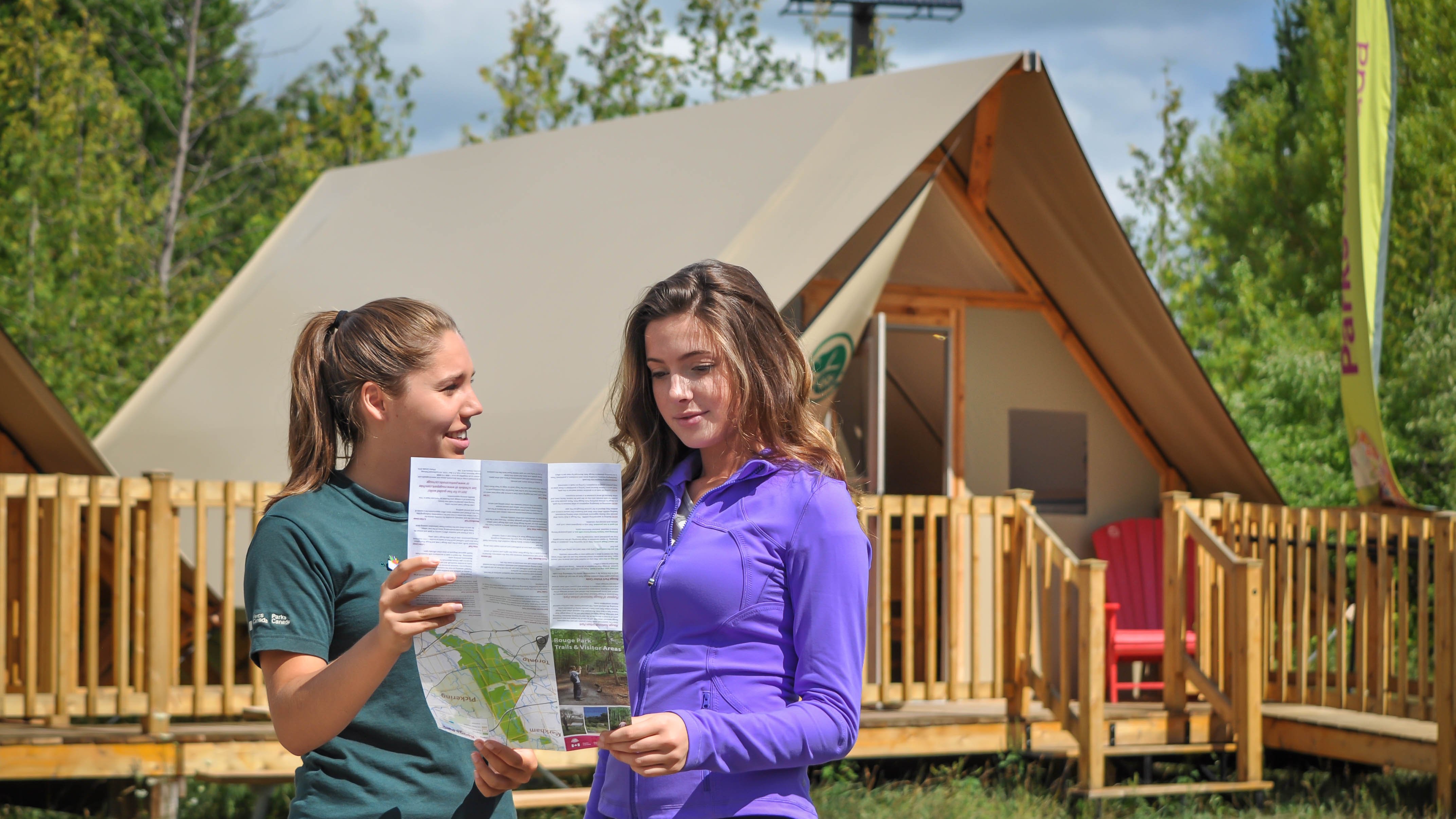
Rouge National Urban Park, located in the Greater Toronto Area, Ontario is one of the largest urban parks in North America. While Rouge National Urban Park is open year-round, it's important to plan ahead before visiting. Wear season-appropriate clothes and shoes for hiking trails. Prepare your own refreshments and food that can be carried in and especially out.
Brochures and publications
Download the Rouge National Urban Park trail guide and maps.
Live parking information
Get up-to-date information on parking availability in the park.
Improvements and infrastructure
What to know before travel: facilities, roads, bridges, trails, and visitor facility improvements.
Best time to visit
Plan your trip before you head out to have the best experience possible in Rouge National Urban Park.
Pre-arrival checklist
Tips to help you get ready for a visit to Rouge National Urban Park.
Accessibility
Accessible trails, camping, facilities and experiences, information kits, sensory accommodations.
The Rouge app
Dive deeper into Canada’s first and only national urban park with the interactive app – The Rouge!
Weather
Seasonal and local weather, and trends.
Camping and overnight accommodations (closed)
Front-country camping and oTENTiks.
Please note that Rouge Beach lower lot, Glen Eagles Vista, Finch Meander parking lots are closed from November 1, 2024 to May 1, 2025.
Are you organizing a group visit to the park? Please contact rouge@pc.gc.ca or 416-264-2020 to plan for a best possible experience.
How to get here
Location
Located in the Greater Toronto Area, Rouge National Urban Park has many points of entry and spans Toronto, Markham, Pickering and Uxbridge.
Phone
416-264-2020
Email
rouge@pc.gc.ca
Directions
.jpg?modified=20250306192223)
How to get here
Directions and distances to Rouge National Urban Park by foot, car, train, bus, subway, bike and even canoe.

Park map
A map of Rouge National Urban Park, including hiking trails, day use areas, parking lots, toilets and more.

The Rouge app
Dive deeper into Canada’s first and only national urban park with the interactive app – The Rouge!
- Date modified :