
Carbon dynamics in the forests of national parks in Canada
Parks Canada's report on conservation from 2018 to 2023
- Conservation priority
- Climate change
- Location
- 31 national parks, Canada
Parks Canada’s groundbreaking study, Parks Canada Carbon Atlas Series: Carbon Dynamics in the Forests of National Parks in Canada, was developed in collaboration with Natural Resources Canada’s Canadian Forest Service to assess and map carbon dynamics in the forests of 31 national parks across Canada.
The study is helping Parks Canada better understand where to focus attention on conserving and enhancing forest carbon uptake and storage, and how to better mitigate the impacts of naturally occurring disturbances, like wildfires and insect outbreaks, through active management.
Project highlights
- Forests in 28 of 31 national parks studied were found to be net carbon sinks between 1990 and 2020
- Large wildfires in three parks contributed to significant greenhouse gas emissions during the study period
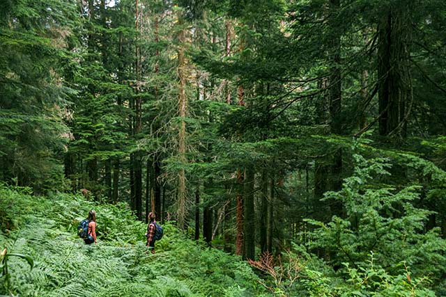
Parks Canada visitors, shown here at Glacier National Park, experience Canada’s vast forests. Parks Canada's Carbon Atlas is improving our understanding of these forest ecosystems for better conservation. Photo: Ian Houghton/Parks Canada
Context

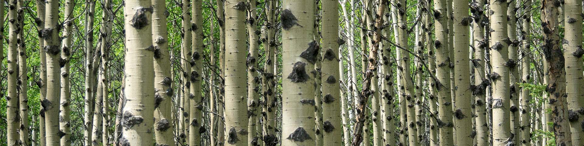
National parks in Canada play an important role in absorbing carbon dioxide from the atmosphere and storing it in plants, soils, and dead organic matter. This helps mitigate the climate warming effects of carbon dioxide (CO₂), a major greenhouse gas resulting from human activities. However, natural events like wildfires and insect outbreaks release some carbon back into the atmosphere.
The first of its kind
Published in October of 2023, Parks Canada Carbon Atlas Series: Carbon Dynamics in the Forests of National Parks in Canada estimates and maps carbon storage and dynamics in forested ecosystems in Canada’s national parks. The study describes how much carbon is sequestered, stored, and emitted, and how that changes over time as forests mature and experience disturbances such as fires and insect outbreaks. Parks Canada’s Carbon Atlas is the first effort of its kind to examine carbon dynamics in protected areas at this national scale, and over such a long study period.
Findings
The study found that large amounts of carbon are currently stored in the forests of national parks. Over the 31-year study period, the national park forests assessed were collectively carbon sinks, absorbing more carbon from the atmosphere than they released.

Only when considering greenhouse gases other than CO₂ that are released during wildfires did the national parks’ forests cumulatively become net sources of carbon. Over the study period, three national parks were affected by major wildfires and insect outbreaks and, consequently, became a positive source of greenhouse gases. Importantly, some greenhouse gases, like methane and nitrous oxide, have impacts on global warming many times greater than CO₂.
Looking ahead
The findings of Parks Canada’s Carbon Atlas will help inform site-based decisions about ecosystem conservation, restoration, and the management of national parks. The results and knowledge obtained through developing the study will also contribute to ongoing discussions about national carbon inventories, and the systems needed to support monitoring, accounting, and reporting of land-based greenhouse gas emissions and removals.

“The Carbon Atlas represents a real leap forward in making Canadian protected areas an important solution to the climate crisis. There are tremendous amounts of carbon stored in the soils and the vegetation in our parks and sites, carbon that otherwise would be in the atmosphere in the form of greenhouse gases. The atlas enables us to visualize where this carbon is and how it is changing through time. With that information we are now well positioned to manage our sites to avoid the release of stored carbon and, eventually, to augment their ability to capture more greenhouse gases.”—Gilles Seutin, Chief Ecosystem Scientist, Parks Canada
Video
Watch a data animation of the carbon stored in the forests of national parks.
Transcript
Parks Canada Beaver Logo
A dark green illustrated map of Canada shows a place marker over Riding Mountain National Park in Manitoba. The map zooms in to focus on a heat map of the park. The year “2020” appears along with a graphic of a small tree and text that says “Carbon stored in the forests of Riding Mountain National Park”. A rainbow scale legend shows the varying densities of carbon storage. Colours range from red—which represents 293 tons per hectare (the highest amount of carbon stored in the park)—to orange, yellow, green, blue, indigo, and lastly violet— which represents 25 tons per hectare (the lowest amount of carbon stored). Riding Mountain National Park is shown as mostly red, orange and yellow. A label below the map indicates that a total of 60 million tonnes of carbon is being stored.
The scene changes to a map that shows all of Canada, the year is still 2020. Other place markers over parks begin popping up across the provinces, totalling 31 all together. Each park contributes its own carbon storage levels to Canada’s total as it appears on the map. The amount of carbon increases from 60 million tonnes of carbon stored in Riding Mountain National Park to 1.4 billion tonnes stored in national park forests across Canada.
The map disappears. An animation of an orange driving car appears along with text that says “This is equivalent to GHG emissions from 1.14 billion vehicles per year”. The car disappears and the text changes to “and that’s just the carbon stored in national park forests. Stay tuned as Parks Canada studies carbon stored in peatlands, grasslands, and other ecosystems.”
Government of Canada logo
Learn more
- Date modified :