Hydrology
Nahanni National Park Reserve

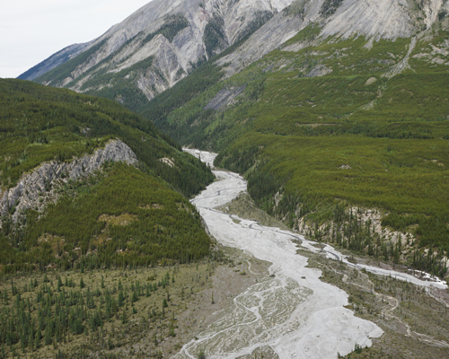
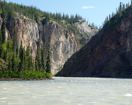
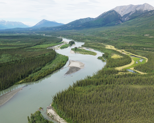
The Nahʔą Dehé (South Nahanni River) is the centrepiece of Nahanni National Park Reserve providing habitat for flora and fauna, while also serving as a prime whitewater destination for adventure seekers. In 1987, the section of the Nahʔą Dehé (South Nahanni River) within Nahanni National Park Reserve became designated as a Canadian Heritage River. The river originates outside the park reserve in the icefields of the Selwyn Mountains. From here, the river flows 563 km southeast cutting across the Mackenzie Mountains, then heads over the magnificent Náįlįcho (Virginia Falls) taking a 96 m vertical drop, then passing through four massive canyons, before joining with the Liard River south of Tthenáágó (Nahanni Butte), NT.
Water flow is seasonally dependant, with peak discharge occurring in June when snowmelt from surrounding mountains thaws. Throughout the summer months (July – September), above average water flow, rising levels, and periods of heavy precipitation may cause flash floods in areas surrounding the Nahʔą Dehé (South Nahanni River) Watershed. Water levels stay relatively high throughout the summer months before dropping significantly in autumn and winter as rivers freeze over.

Tu Naka Dé (Flat River) is the largest tributary of the Nahʔą Dehé, and the second largest river in the park reserve stretching 200 km before joining the Nahʔą Dehé (South Nahanni River) south of Náįlįcho (Virginia Falls). Originating in the Selwyn Range, its average gradient of 2.28 m/km is 60% steeper than that of the Nahʔą Dehé (South Nahanni River). The Gahnįhthah Dehé (Rabbitkettle River), which also originates in the Selwyn mountains, is the second largest tributary of theNahʔą Dehé. Most of the Nahʔą Dehé watershed consists of steep mountain valleys, glacial debris and old lakebed deposits. Rivers and streams are the dominant aquatic features of Nahanni National Park Reserve.
There are relatively few lakes in the park reserve, which range in size from 61 to 345 hectares. Notable lakes include Glacier Lake, Island Lake, Gahnįhthah Mįe (Rabbitkettle Lake), Seaplane Lake, and Chitu (Yohin Lake). All other lakes are smaller, with sizes less than 25 hectares. Standing water in the park reserve varies from unproductive high glacial meltwater basins at high elevations, to shallow, slightly more productive lakes at low elevations. As a result of this variety, the diversity of species may vary from lake to lake. Shallow low-elevation lakes generally support a greater diversity of aquatic fauna and wildlife, including arctic grayling and northern pike. These lakes also provide ideal breeding areas for aquatic bird species. A small nesting population of trumpeter swans can be found at Chitu, and four species of loons and red-necked grebes can be observed at Gahnįhthah Mįe (Rabbitkettle Lake).

Nahanni National Park Reserve presents a unique challenge for the management and protection of its aquatic resources. Nahanni Protects an area of just over 30,000km², which is managed by a small team, making it difficult to reach all corners of the park reserve every year. Limited access due to the lack of roads and the cost of air charters makes monitoring and research efforts an expensive process. To help overcome some of these challenges, Parks Canada staff work closely with the Nahʔą Dehé K’ehodi Guardians, outside stakeholders, and other provincial and federal government departments within the Nahʔą Dehé Ts’ç Tu Zhánîlî (Greater Nahanni Ecosystem).
- Date modified :