
Coastal ecosystem restoration
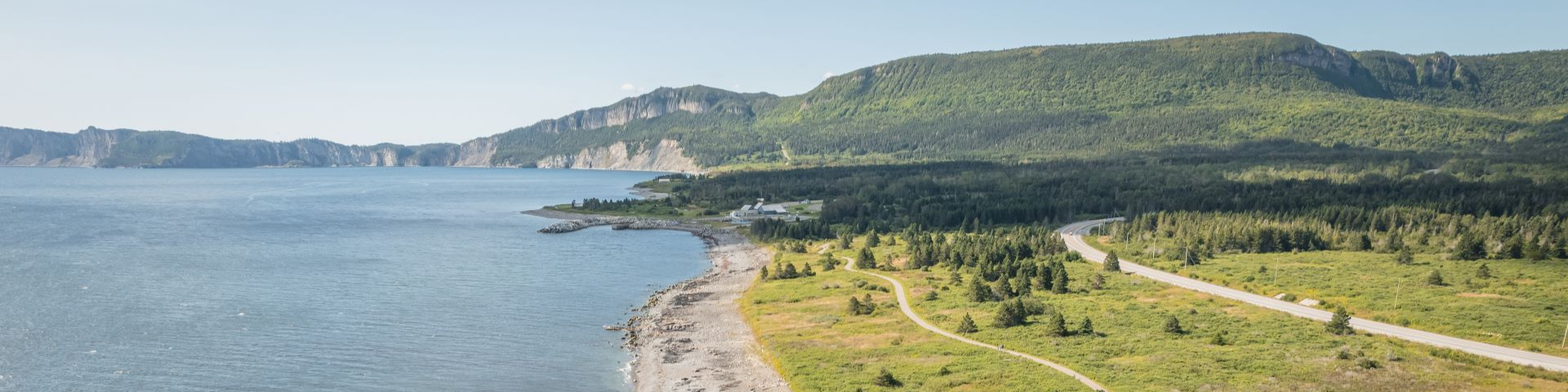
Forillon National Park
Having become a leader in climate change adaptation in the country, Forillon National Park was awarded the 2020 Award of Excellence to an agency from the Canadian Park Council for its Cap-des-Rosiers beach restoration project.
Cap-des-Rosiers natural dynamics restoration and coastal ecosystem enhancement final report
Adapting to climate change
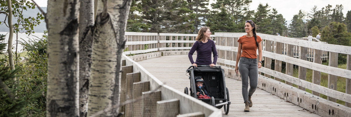
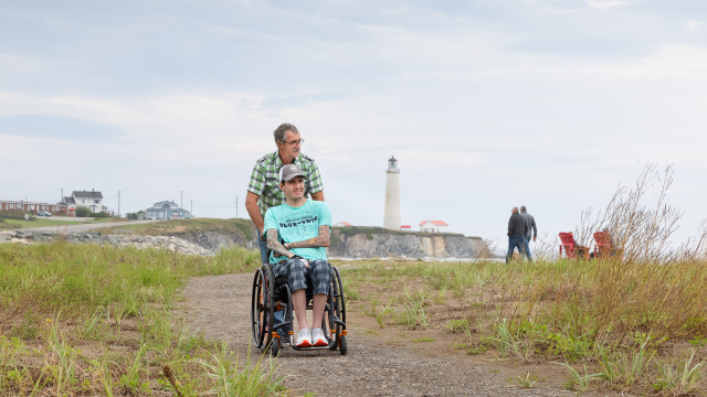
For a few years now, visitors access the tip of Penouille via the elevated boardwalk.
Climate change has a range of repercussions for Forillon Park. Shore erosion has been aggravated by rising sea levels, changes in temperature and a decrease in sea ice. With the construction of roads and buildings that are not suited to a coastal environment, many shores have become fragile. Shoreline erosion has damaged some of the park’s beachside facilities and threatened the integrity of natural and cultural components.
Not so long ago, a storm could be completely halted by the ice present when it hit. Now, however, because very often there isn’t any ice before early January, a bad storm will produce considerable impact. The other major factor is sea levels. There’s no doubt in anyone’s mind that sea levels are rising in Quebec
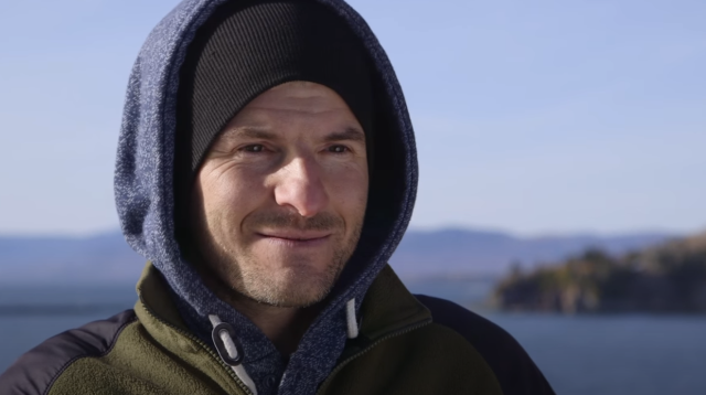
Christian Fraser, Research Associate
Solutions
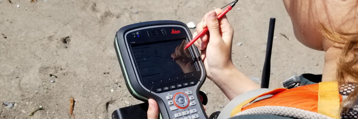
Technology is a valuable ally for research teams.
One of the solution is to redevelop facilities in consideration of the coastal dynamic and the risks of coastal erosion, and restore natural components.
The expertise provided by the Université du Québec à Rimouski (UQAR) has played a critical role in efforts to better understand coastal erosion and develop methods for adapting to this new reality.
There are many benefits to this approach: a medium- and long-term decrease in maintenance and repair costs; the maintenance of a sand beach at Penouille and the return of the Cap-des-Rosiers beach for the enjoyment of visitors; and the protection of natural and cultural heritage.
Here's how the project unfolded.
Modifying beach access
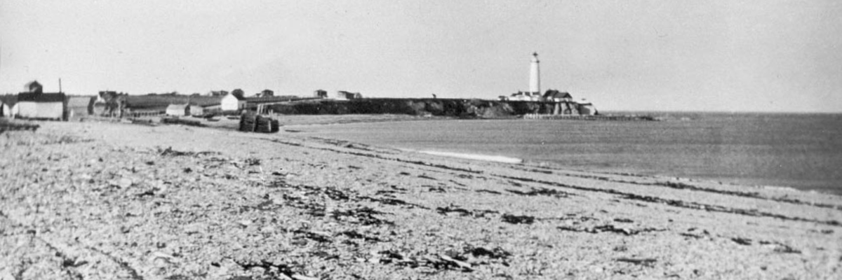
Cap-des-Rosiers beach has regained its natural profile... just like in the old days!
Paved infrastructures are incompatible with an environment as dynamic as a shoreline.
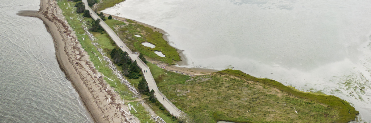
In order to maintain the balance of the strip of land providing access to the sand spit, the paved trail was replaced by a raised boardwalk. In addition, the new route of access was laid out further from the beach.
Roads and riprap protection built alongside shorelines only aggravate the phenomenon of erosion, causing beaches to disappear altogether.
With the removal of the riprap and the Cap-des-Rosiers road, visitors can now enjoy a magnificent seafront. A new multi-use trail has been created to showcase the area's many attractions. Let us also remember that the new road 132 in this area now passes through the forest, far from the dynamic coastal landscape.
Greening back shores
Beachwood: a natural barrier against erosion.
Shoreline plants are essential for maintaining backshores and sand beaches. For that reason, the shoreline restoration project has incorporated the planting of beach grasses along the previously paved portion of the trail at Penouille and the old Cap-des-Rosiers road.
Driftwood and seaweed that have washed up on the beach also help to protect the beach from waves and promote the accumulation of sand. Such materials are not trash and should be left on the beach. Only real trash should be removed – i.e., trash created by humans (e.g., plastic, treated wood, etc.).
Developing facilities in keeping with beach dynamics
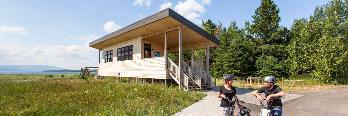
The service building at the end of the Penouille peninsula.
A sand spit like the one at Penouille is much too fragile and dynamic an environment for siting heavy buildings. That is why the new snack bar was built on the plateau located at the entrance to the peninsula and not on the sand spit proper.
According to projected sea levels, the area at the tip of the sand spit (i.e., the location of the former service building, already considerably damaged by erosion) will be completely under water by 2050.
Accordingly, a new building on piles was erected in the middle of the peninsula using materials from the former building.
Moving the monument commemorating of the Carricks
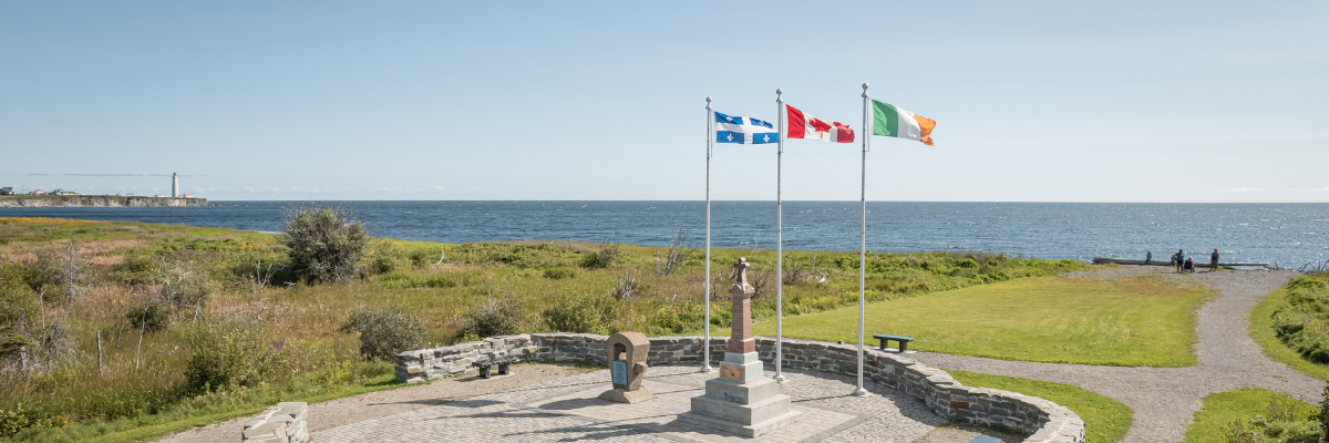
Irish Monument, North area of the park
On April 28, 1847, the brig known as the Carricks wrecked offshore from Cap-des-Rosiers. One hundred and thirty-nine of the 187 Irish immigrant passengers fleeing famine and epidemics drowned. In 1977, a monument was erected to honour their memory on the upper portion of the Cap-des-Rosiers beach in Forillon Park.
However, due to the disappearance of the beach, storms washed in as far as the commemorative site. The monument has been moved further away from the beach, to an area identified as stable, all with a view to protecting its integrity.
Coastie Initiative
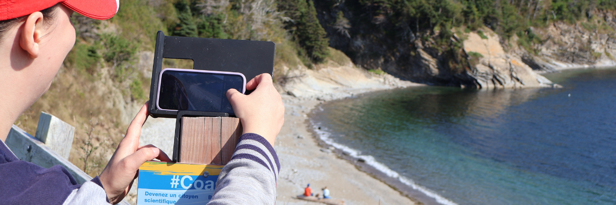
Participate in this citizen science project in just a few clicks
The Coastie initiative uses photos that you take to help scientists monitor coastal change over time. By taking a Coastie, you participate in community science. How can you get involved? It’s simple! Visit one of Coastie locations, take a photo by placing your smartphone on the stand and submit it to the Coastie team.
- Penouille
- Cap-des-Rosiers
- Petit-Gaspé
- L'Anse-aux-Amérindiens
- Date modified :