Scenic drives
Waterton Lakes National Park
If spectacular scenery and wildlife appeal to you, drive one of the scenic parkways in Waterton Lakes National Park. All have pulloffs and viewpoints for safe viewing opportunities, and offer the chance to discover more about this special place.
Waterton Lakes’ popular day use areas can be busy in the summer months. Use this page to plan ahead: Parkways and parking lot status.
Entrance Parkway

The Entrance Parkway runs from the park gate to Waterton townsite and provides scenic views overlooking the Waterton Valley. It starts out on the prairie and follows the Waterton Lakes chain past the Prince of Wales Hotel National Historic Site to the townsite. It is one of the best roads in the park for viewing wildlife.
Did you know?
A multi-use pathway called the Kootenai Brown Trail runs alongside the Entrance Parkway from the park gate to the townsite.
Red Rock Parkway

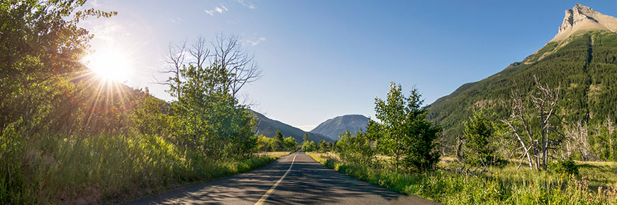
The Red Rock Parkway travels 15 km up the Blakiston Valley through rolling grasslands and ends at Red Rock Canyon. It is the best place to experience Waterton's classic prairie meeting mountain landscape.
During your trip, be sure to stop at the scenic pulloffs, many of which have interpretive displays. At the end of the parkway, a self-guided trail loops around Red Rock Canyon. In June, the wildflowers are spectacular along this road. It is also a great place for wildlife viewing. The parkway is narrow and may not be suitable for larger motor homes.
The Red Rock Parkway offers dramatic views of Mt. Blakiston, the park’s highest peak at 2,940 m (9,645 ft) above sea level.
Seasonal closure to motor vehicle use October 31 to May 1 (access to motor vehicles thereafter is weather dependent).
Did you know?
Red Rock Canyon is named for the several, thick, sedimentary beds of red argillite rock.
Chief Mountain Highway

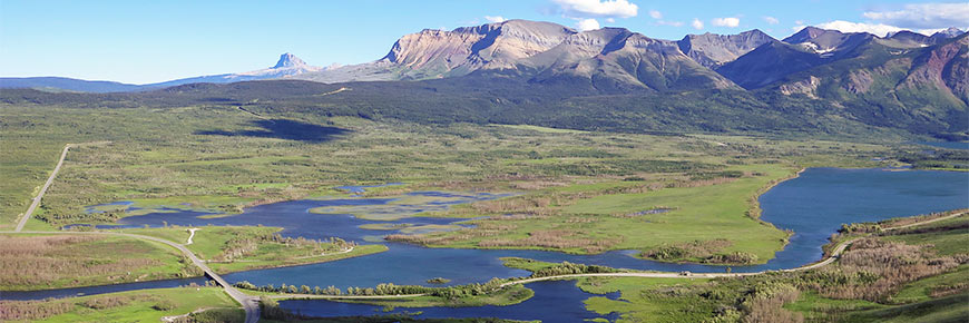
The Chief Mountain Highway is the primary route between Waterton Lakes National Park and Glacier National Park (U.S). The highway climbs from the grasslands near Maskinonge Lake to a viewpoint which offers a magnificent panorama of the Waterton and Blakiston valleys (Chief Mountain lookout).
Along the way to Chief Mountain international border crossing (seasonal), the highway passes through wetlands and the site of the Sofa Mountain Wildfire. Travellers can continue across the international border past Chief Mountain to the community of St. Mary, on the boundary of Glacier National Park.
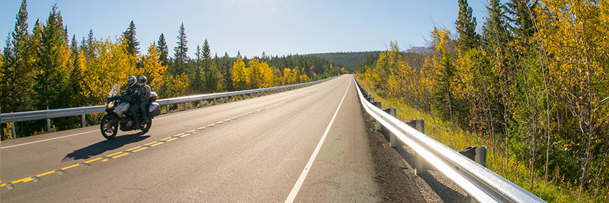
Chief Mountain Highway has wide shoulders making it good for cycling, but be prepared for some large hills. Belly River campground is located along this road.
Did you know?
The Chief Mountain Highway officially opened in 1936.
Bison Paddock Loop Road

The Bison Paddock loop road and access to the area from Highway 6 are not maintained at this time. The Bison Paddock Loop Road is now closed for the season.
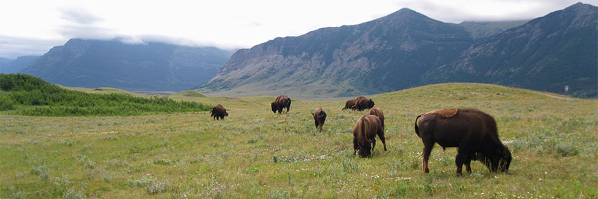
Located just inside the park’s north boundary, off Highway 6, the Bison Paddock Loop Road provides an opportunity to see plains bison in their natural grassland habitat. In spring, summer and fall, you can drive the road and view the bison. This short, scenic route passes through fescue grasslands inside the park's summer paddock. The bison are free to roam the enclosure.
Bison are wild animals and can be dangerous and unpredictable. When viewing bison from the Bison Paddock Loop Road, drive slowly, always stay inside your vehicle, take photos from a safe distance. Pedestrians, cyclists and motorcyclists are not permitted on the Bison Paddock Loop Road.
Bison Paddock Overlook
Located near the Bison Paddock Loop Road, this short walk leads to an outstanding view of the valley and mountains. Discover the subtle beauty of the rough fescue prairies. Waterton Lakes is the only national park in Canada that protects rough fescue, a grass that is highly nutritious food for plains bison. Located below the overlook, bison can frequently be seen in the bison paddock.
More information
- Date modified :