
Climate
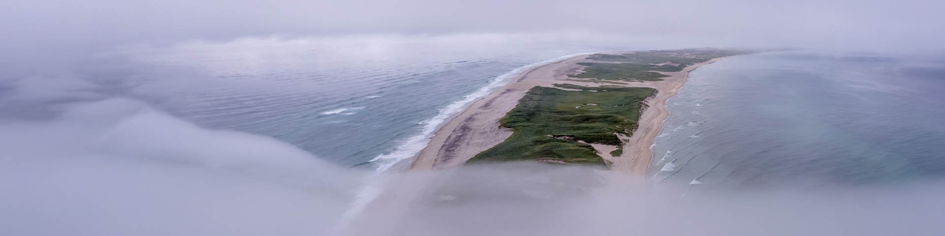
Sable Island National Park Reserve
Sable Island has a maritime temperate climate influenced by the Atlantic Ocean. Fog, precipitation, wind, and storms are common.
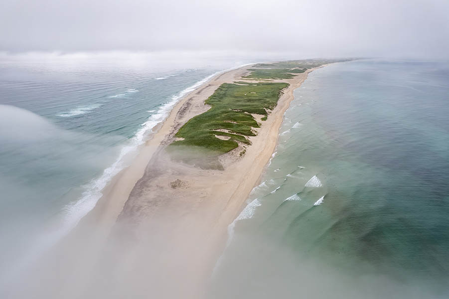
127 days of fog
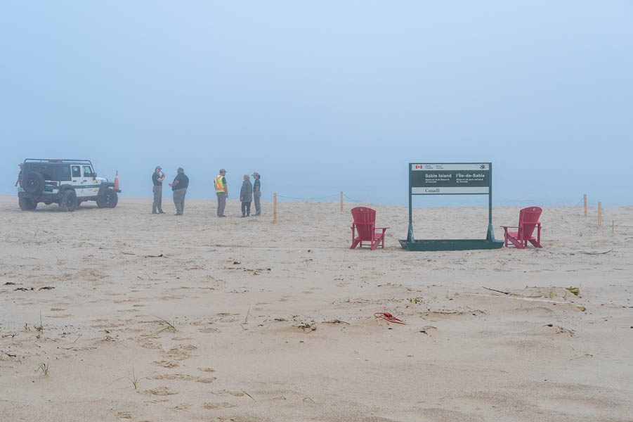
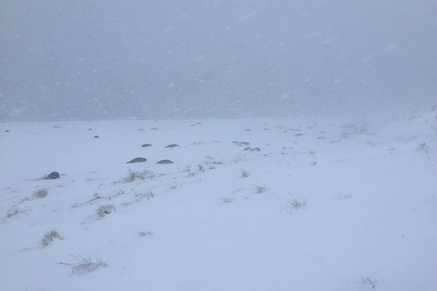
Sable Island was once known as the Graveyard of the Atlantic, and for good reason: the island’s heavy fog has historically been the cause of many shipwrecks!
Sable Island fog develops when warm, humid air flows over the cold waters of the Atlantic Ocean.
On average, there are 127 days out of the year where Sable Island has at least one hour of fog. Fog is most prominent from May to July and can persist on the island for an entire week at a time.
Temperature
Sable Island has a maritime temperate climate influenced by the Atlantic Ocean. This means the island experiences relatively moderate year-round temperatures and precipitation.
Due to its position in the ocean, temperatures are easily influenced by wind conditions.
Late summer
The average daily temperature is between 18°C to 21°C.
Winter months
Sable Island experiences some of the warmest seasonal temperatures in Canada! This is because of the moderating influence of the Gulf Stream.
Only February has average daily temperatures below freezing.
Annual averages
Across the whole year, the average daily temperature on Sable Island is 7.8° C, with an average daily minimum of 5.0° C (higher than Halifax) and an average daily maximum of 10.6° C (lower than Halifax).
There is often little variation between daytime and nighttime temperatures on the island, particularly during the summer and fall.
Precipitation
The total monthly precipitation on Sable Island is lower in summer, and it does not significantly vary throughout the year.
The total annual precipitation is approximately 1,511 mm, which is higher than that of Halifax.
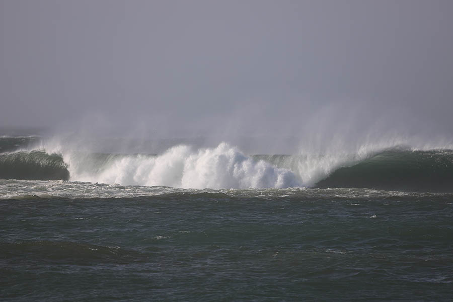
Wind
Given Sable Island’s remote location, the island is exposed to strong winds. The average wind speed on Sable Island is 25 km per hour, which is considerably higher than wind speeds on mainland Nova Scotia (15 to 16 km per hour).
The island also experiences more storm-force winds than the mainland.
Wind speeds are higher during the winter months than during the summer months.
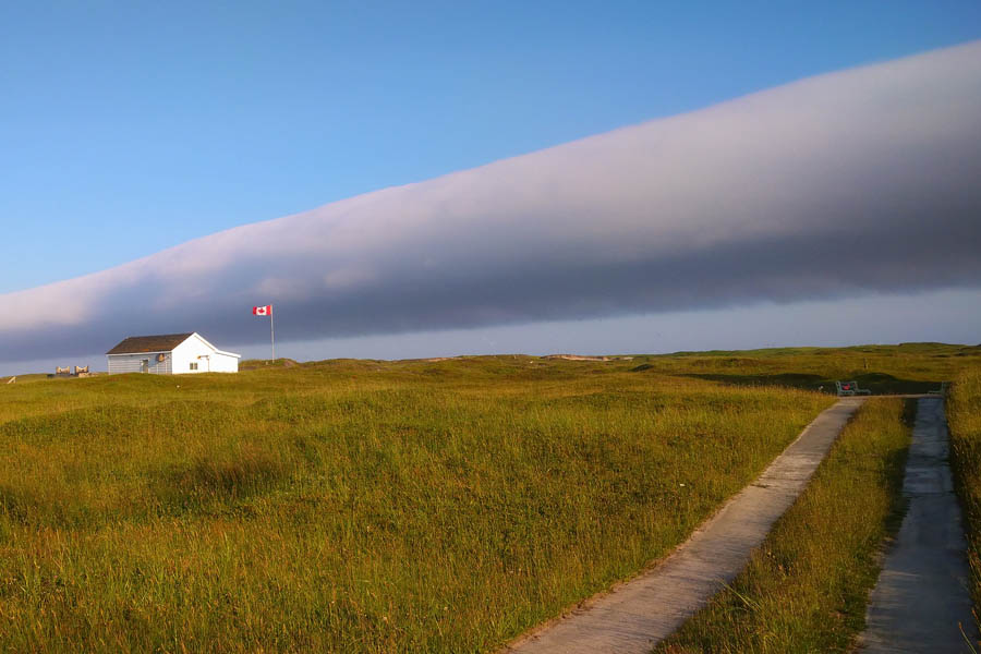
Storms
Sable Island experiences severe weather caused by tropical storms from the south, and winter storms from the north.
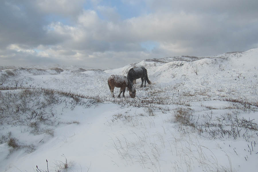
These storms can have a large impact on Sable Island’s geological structures. Extreme weather, especially winter storms, typically cause a net loss in sediment. They can also cause shifting sands and affect dune formation. If there is no vegetation to stabilize dunes, then they are more vulnerable to harsh weather.
Tropical storms
On average, Sable Island and eastern Canada are threatened by four to five tropical storms or hurricanes per year.
One of the strongest hurricanes to impact Sable Island was Hurricane Fiona in 2022, with sustained winds of 130 km/h, and peak gusts of 170 km/h.
Winter storms
Sable Island sees many winter storms. These winter storms bring strong winds, high waves, and freezing rain.
The island is affected by low-pressure systems because of its mid-latitude position in the Atlantic Ocean.
It is also in a location that sees strong temperature contrast between warm and cold air masses (frontal boundaries). The temperature difference in northern and southern latitudes is more intense during the winter, resulting in winter storms.


Related links
- Date modified :