
Geomorphology
Sable Island National Park Reserve
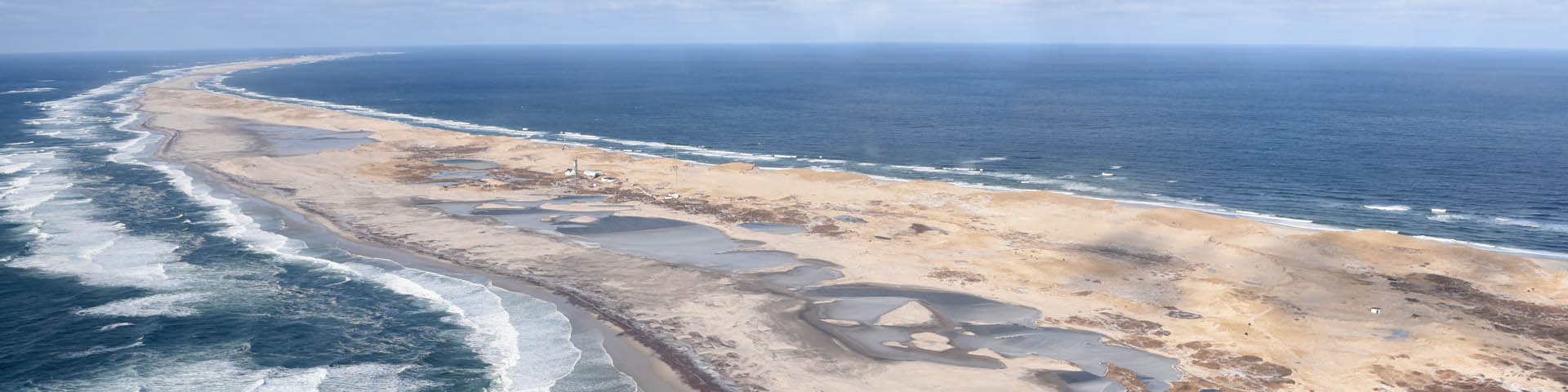
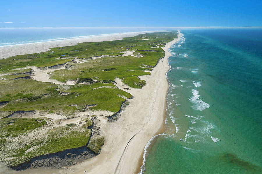
Sable Island is a vegetated, narrow, crescent shaped sand bar, perched on the edge of the Atlantic continental shelf. The island is located in the North Atlantic, approximately 290 km from Halifax, at 44˚N 60˚W.
The island is the above water portion of a large underwater bank. Underwater sand bars extend out on either end of Sable Island. These proved to be a great hazard to ships before the advent of modern navigation.
Sable Island is about 42 km in length, and no more than 1.3 km at its widest. It spans a total area of 3,400 ha, approximately seven times the size of McNabs Island in the Halifax Harbour.
Origin
The island was formed by glaciers during the Wisconsian glaciation (most recent glacial period, 75,000 to 11,000 years ago). The glacial ice extended to the edge of the Atlantic continental shelf, and covered Sable Island’s current location.
When the glacial ice retreated, it left a terminal moraine – glacial debris (gravel, soil, and piles of rock) deposited by the melting glacier – at the edge of the continental shelf.
When it was first formed, Sable Island was much larger than it is today. However, during the postglacial time, sea levels rose over the Atlantic continental shelf and eventually left Sable Island as we know it today.
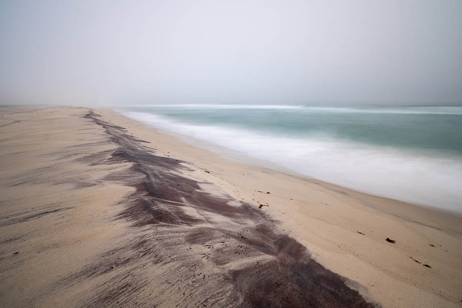
Beaches and sand spits
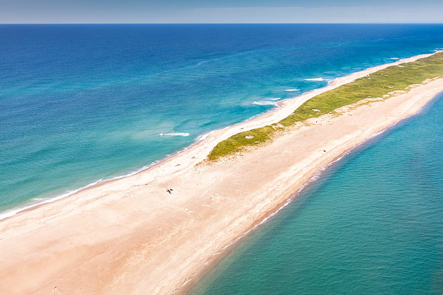
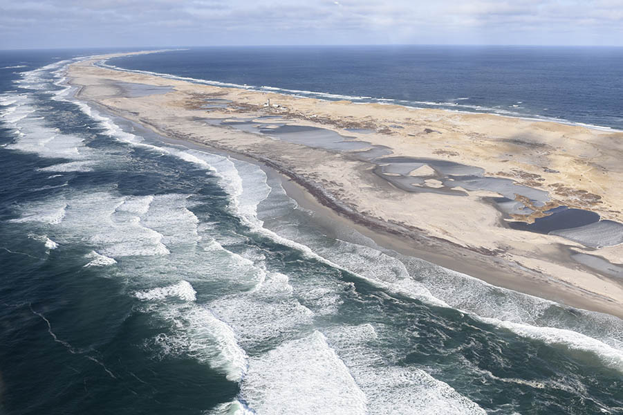
The island is flanked on the north and south by two long parallel beaches separated by a mature dune system.
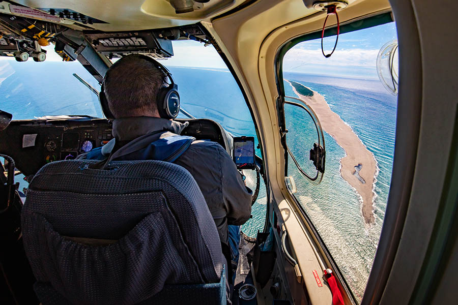
Both the eastern and western tips are 2-6 km long flat expanses of sand, known as the East Spit and the West Spit.
In recent years the West Spit has experienced vegetation growth and a widening of dune cover, and the East Spit has reduced in length.
Dunes
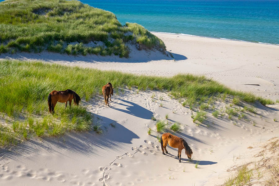
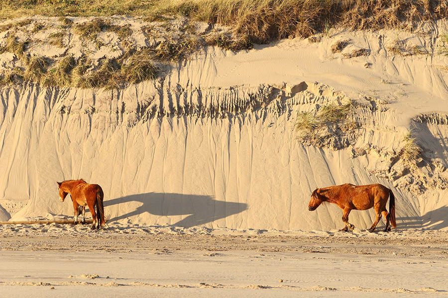
There is a mix of dune types on Sable Island. Some dunes are unvegetated, small, and simple. Other dunes are well-vegetated, large, and complex.
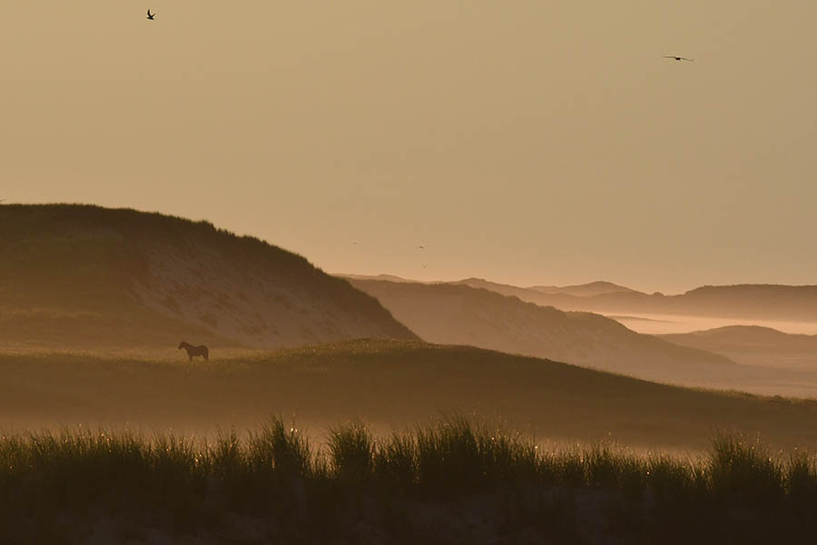
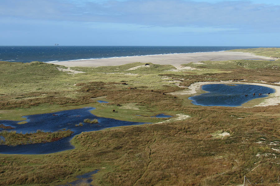
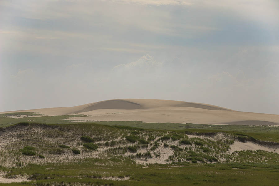
The interior topography is characterized by low rolling dunes with a number of freshwater ponds, especially in the west.
In the centre of the island, and running for approximately two thirds of the total length of the island, is a series of high dunes. This is one of Eastern Canada's largest dune systems.
Dunes are often formed when wind blown sand gets trapped by objects on the beach and it piles up into small mounds. If plants colonize, these small mounds eventually become sand dunes.
Sediments and sand
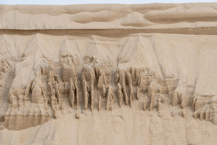
Sable Island is composed of outwash sediments (sand and gravel deposited from glacial melt). The sediments form the island’s dunes and beaches, as well as the underlying sand bank.
The sand on Sable Island is the product of weathering, and it’s constantly being created and recycled. The sand is mostly composed of quartz: a hard mineral that easily resists wear and tear. This means the sand on Sable Island has been there a long time!
Influence of weather
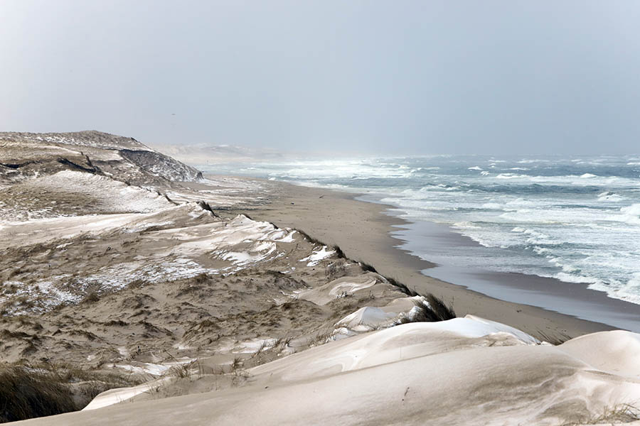
The overall movement of sediments to and from Sable Island is influenced by seasonal weather patterns. During winter and autumn months, winds blow large amounts of sand from the island into the Atlantic Ocean. In the spring and summer, waves return the sands to Sable Island.
Additionally, unvegetated dunes are typically mobile because there is no vegetation stabilizing the sand.
The direction of sand and sediment movement is often controlled by flows (wind and water current flows) generated by winter storms. The dominant wind is from the west, so sand is moved west to east. However, winter storms from the north can move significant amounts of sand in different directions.
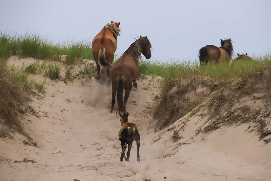
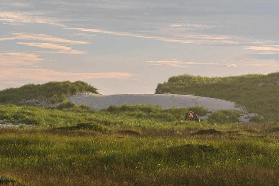
Image gallery

Related links
- Date modified :