
Forest vegetation community aerial survey
Prince Albert National Park
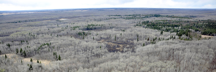
Prince Albert National Park consists of various forest cover types that each contain their own unique species of flora and fauna. By monitoring the changes in forest cover over time, we can determine the composition of animals and plants throughout the park. Remote sensing data, images and data collected using satellites and planes, is used to study the variety of forest types covering the park.
Three factors are examined when monitoring forest communities:
Extent: How much forest is there? For example, does the forest cover 10 hectares or 100 hectares?
Distribution: Where are the forests and how are they spread throughout the park? For example, are all of the trees in one big stand or in many small stands?
Community: What kinds of trees make up the different sections of forest? For example, are the stands mostly spruce trees or trembling aspen?
The health of grasslands and wetlands are also monitored using similar techniques.
- Date modified :