Tallgrass Trek
Rouge National Urban Park
![]()
![]()
This loop trail winds past restored wetlands, meadows and grasslands leading to sweeping south facing views across the landscape. These habitats lack tree cover, offering a year-round open sky experience.
| Location | 7277 14th Ave, Markham Lat: 43.860700, Long: -79.210934 Google Maps |
| Difficulty | Easy |
| Distance | 3.2 km loop |
| Time | 1 to 1.5 hours |
| Washrooms | Seasonally available near the parking lot |
| Parking | Limited free parking is available all year at 7277 14th Avenue |
Accessibility information

Surface: Crushed limestone
Average width: 143 cm
Minimum width: 60 cm
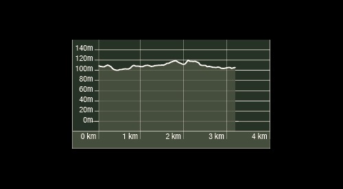
Average slope: 2.0%
Maximum slope: 8.7%
Average cross slope: 2.8%
Maximum cross slope: 9.2%
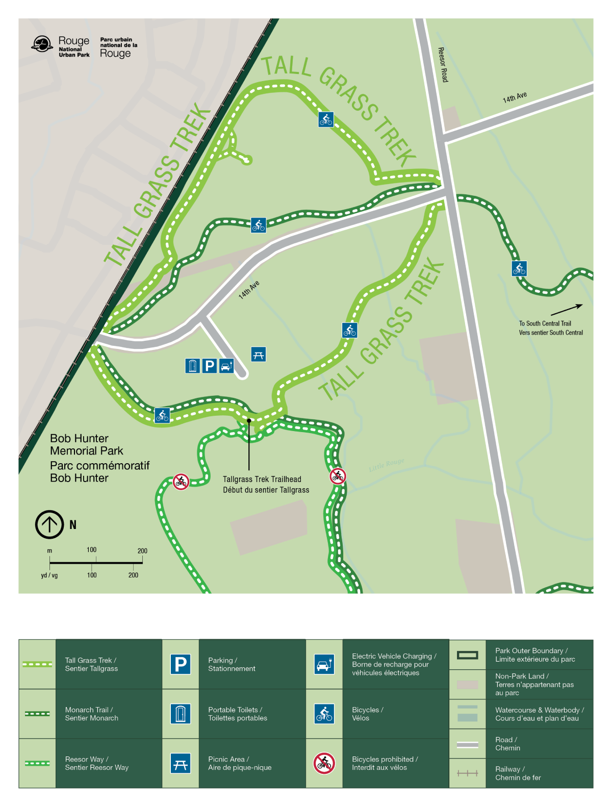
Trail Map

- Date modified :