
Burritts Rapids
Rideau Canal National Historic Site
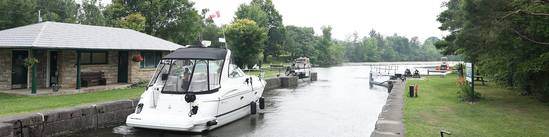
Burritts Rapids lockstation is located near Kemptville. This location is a popular site for visitors as it that allows for overnight mooring and camping. Burritts Rapids is a perfect stop to unwind and relax as there are plenty of greenspace for campers and power (downstream) for boaters.
How to get here
Burritts Rapids
673 River Road
Kemptvile, Ontario
GPS: 44°58'56"N 75°47'11"W
Phone
613-258-4510
Email
rideau@pc.gc.ca
Navigational data
- Distance from Ottawa: 64.0 km (39.8 mi)
- Distance from Kingston: 138.1 km (85.8 mi)
- Nautical chart: #1512 (Sheet 3)
- Lock length: 40.8 m (134 ft)
- Lock width: 9.7 m (33 ft)
- Average lift: 3.2 m (10.5 ft)
Facilities and services
- Overnight mooring (2 nights max)
- Camping
- Washrooms
- Barbecue grills
- Potable water
- Shore power (lower side)
- Picnic tables
- Self-guiding trail
- Parking
History
The Burritts Rapids lockstation is located at the downstream end of a natural flood channel, the Oxford Snie, that was made navigable by adding embankments and damming the river to flood the navigation channel. The Village of Burritts Rapids, one of the earliest settlements in the Rideau Corridor, was founded in 1793 by Colonel Stephen Burritt, a Loyalist from Connecticut, who built a house at the site.
Read more history about this lockstationGoogle Street View
Related links
- Ottawa Locks
- Hartwells
- Hogs Back
- Black Rapids
- Long Island
- Lower Nicholsons
- Upper Nicholsons
- Clowes
- Merrickville
- Edmonds
- Old Slys
- Smiths Falls Combined
- Smiths Falls Detached
- Poonamalie
- Lower Beveridges
- Upper Beveridges
- Colonel By Island
- Narrows
- Newboro
- Chaffeys
- Davis
- Jones Falls
- Brass Point Bridge
- Upper Brewers
- Lower Brewers
- Kingston Mills
- Date modified :