
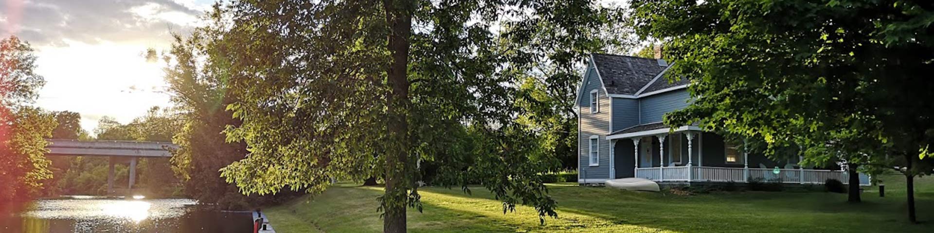
Lower Beveridges
Rideau Canal National Historic Site
The Beveridges locks are less than a kilometre apart. Four oTENTik campsites connect visitors with some of best wildlife viewing along the Rideau Canal. Ample parking and a boat launch are available on site. Boaters wanting to travel along the Tay Canal to the picturesque Town of Perth about 8 kilometres to the west are able to tie up their vessels at Last Duel Park, or boats that are below 6 feet in height can proceed right into town.
How to get here
Lower Beveridges
145 Beveridges Lock Road
Drummond/North Elmsley, Ontario
GPS: 44°52'29"N 76°08'21"W
Phone
613-267-2036
Email
rideau@pc.gc.ca
Navigational data
- Tay Canal Entrance - Distance from Ottawa: 110.4 km (68.6 mi)
- Tay Canal Entrance - Distance from Kingston: 91.7 km (57.0 mi)
- Tay: 0.3 km (0.2 mi)
- Nautical chart: #1513 (Sheet 1)
- Lock length: 40.8 m (134 ft)
- Lock width: 9.7 m (33 ft)
- Average lift: 3.6 m (12 ft)
Facilities and services
- Overnight mooring (2 nights max)
- Camping
- Washrooms
- Potable water
- Shore power
- Boat launch
- Picnic tables
- Self-guiding trail
- Historic accommodation
- Parking
History
The construction of a lockstation at Beveridges Bay, connecting the Tay River and the Rideau River, was not part of the original plan for the Rideau Canal. The project was started in 1885 as a result of considerable pressure on the federal government from merchants and manufacturers in the Perth area and the local MP, John G. Haggart Jr. The locks were completed in 1887 and dredging to deepen the channel into Perth was completed in 1891.
Read more history about this lockstationGoogle Street View
Related links
- Ottawa Locks
- Hartwells
- Hogs Back
- Black Rapids
- Long Island
- Burritts Rapids
- Lower Nicholsons
- Upper Nicholsons
- Clowes
- Merrickville
- Edmonds
- Old Slys
- Smiths Falls Combined
- Smiths Falls Detached
- Poonamalie
- Upper Beveridges
- Colonel By Island
- Narrows
- Newboro
- Chaffeys
- Davis
- Jones Falls
- Brass Point Bridge
- Upper Brewers
- Lower Brewers
- Kingston Mills
- Date modified :