
Merrickville
Rideau Canal National Historic Site
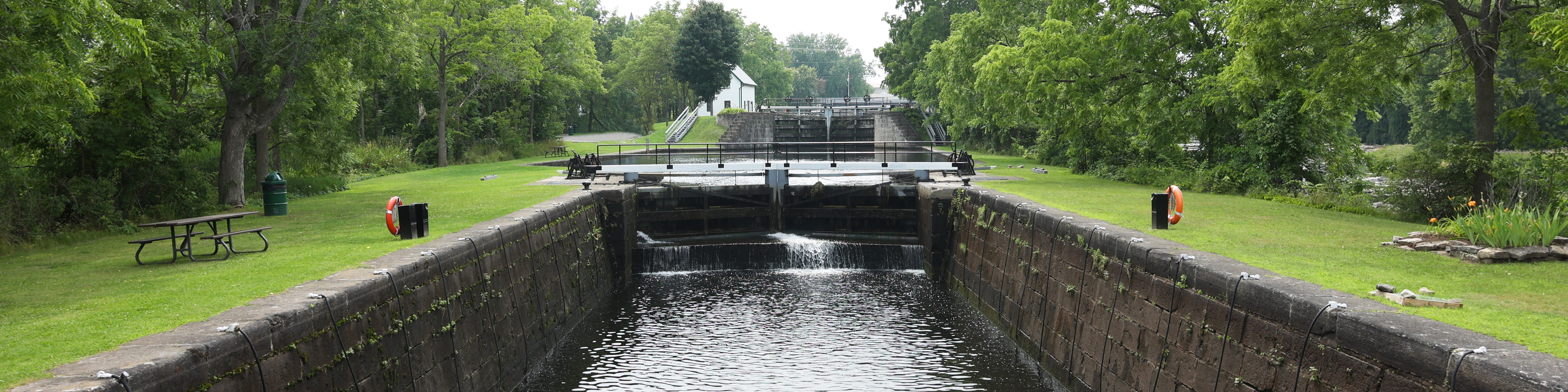
Merrickville-Wolford is known as the “Jewel of the Rideau Canal”. Merrickville lockstation is surrounded by a variety of shops, restaurants, services, museums and heritage buildings. This is one of our most popular sites for overnight mooring.
How to get here
Merrickville
111A Main Street East
Merrickville-Wolford, Ontario
GPS: 44°55'01"N 75°50'07"W
Phone
613-269-4787
Email
rideau@pc.gc.ca
Navigational data
- Distance from Ottawa: 73.8 km (45.9 mi)
- Distance from Kingston: 127.9 km (79.5 mi)
- Nautical chart: #1512 (Sheet 3)
- Number of locks: 3
- Lock length: 40.8 m (134 ft)
- Lock width: 9.7 m (33 ft)
- Average lift: 2.6 m (8.7 ft), 3.0 m (10 ft), 2.0 m (6.2 ft)
Facilities and services
- Overnight mooring (2 nights max)
- Camping
- Washrooms
- Potable water
- Shore power
- Picnic tables
- Visitor information
- Self-guiding trail
- Parking
History
Merrickville lockstation is located within one of the oldest settlements along the Rideau corridor. William Merrick, who had arrived in this area about 1791, received land rights in the early 1800s and went on to develop the site. After 1810, a community began to grow around the milling activity. In 1821, Merrick built a stone house overlooking his mills. When the canal construction crews arrived in 1827, the village of Merrick's Mills, as it was then known, was a thriving little community.
Read more history about this lockstationGoogle Street View
Related links
- Ottawa Locks
- Hartwells
- Hogs Back
- Black Rapids
- Long Island
- Burritts Rapids
- Lower Nicholsons
- Upper Nicholsons
- Clowes
- Edmonds
- Old Slys
- Smiths Falls Combined
- Smiths Falls Detached
- Poonamalie
- Lower Beveridges
- Upper Beveridges
- Colonel By Island
- Narrows
- Newboro
- Chaffeys
- Davis
- Jones Falls
- Brass Point Bridge
- Upper Brewers
- Lower Brewers
- Kingston Mills
- Date modified :